Fisterra
Located in A Coruña, Galicia Coordinates: 42°55′21″ N 9°16′00″ W
- Population
- 4,990
- 5K
- Elevation
- 7 m
- above sea level
- Local time
- UTC+01:00
- Europe/Madrid · UTC+01:00
- Places inside
- 17
- listed under Fisterra
About Fisterra
Fisterra is a municipality. Location: A Coruña, Galicia. Population: 4,990. Elevation: 7 m.
Fisterra (Galician pronunciation: [fisˈtɛrɐ]; Spanish: Finisterre [finisˈtere]) is a municipality in the province of A Coruña, in the autonomous community of Galicia, Spain. It belongs to the comarca of Fisterra. Fisterra is on Cape Finisterre, an alternative final destination for pilgrims on the Way of St. James who seek to travel beyond Santiago de Compostela. Fisterra is on the rocky Costa da Morte (Galician: "Coast of Death"), named because of the large number of shipwrecks along these shores.
Read more on Wikipedia Text: Wikipedia contributors · CC BY-SA 4.0 · shortened
At a glance
- Area
- 29.4 km²
Source: Wikidata
In comparison
- No. 53 of 91 places in A Coruña by population
- Nearest larger town: Fisterra, 2 km S
- 7 sights and natural places within 10 km Praia da Langosteira, Cabo da Nave
- Listed here: Village: 11, Landmark: 2, Natural site: 2, Beach: 1
Places in Fisterra
17 places-
Fisterra Town5K
-
Buxán Village
-
Cabo da Nave Natural site
-
Cabo Fisterra Natural site
-
Cabo Fisterra DGPS-Transmitter Landmark
-
Castro Village
-
Denle Village
-
Duio Village
-
Duio Village
-
Finisterre Light Landmark
-
Insua Village
-
Mallas Village
-
Padrís Village
-
Praia da Langosteira Beach
-
San Martiño de Arriba Village
-
Sardiñeiro Village
-
Sardiñeiro de Abaixo Village
Nearby attractions & nature
Everything nearby-
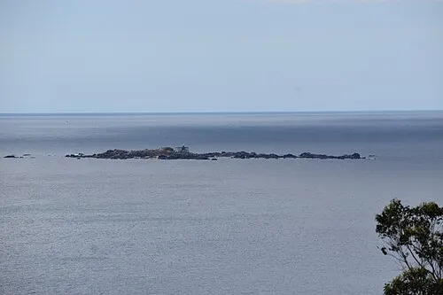 Lobeira Grande Island, Carnota8.2 km SE
-
O caduiro do Ézaro (río Xallas) Natural site, A Coruña12 km E
-
Río del Castro River, Cee8.7 km N
-
Lobeira pequena Island, Carnota10 km SE
-
Montes do Pindo Mountain, Carnota13 km E
-
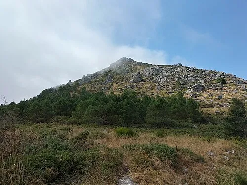 Monte Louro Mountain, Muros25 km SE
-
Cabo da Buitra Natural site, Muxía18 km N
-
Monte Aro Mountain, Mazaricos25 km E
Sources & licences
Data last updated: · 2 independent sources