Río Baxoi
Located in Miño, A Coruña Coordinates: 43°22′00″ N 8°12′00″ W
- Elevation
- 30 m
- above sea level
- Local time
- UTC+01:00
- Europe/Madrid · UTC+01:00
About Río Baxoi
Río Baxoi is a river. Location: Miño, A Coruña.
In comparison
- 12 sights and natural places within 10 km Isla del Carbón, Illa Carboeira
Nearest towns and villages
-
Miño Town, Miño1.9 km S
-
Castro Village, Miño1.4 km E
-
Leiro Village, Miño2.3 km SE
-
Punta Bañobre Village, Miño0.7 km S
-
Boebre Village, Pontedeume2.3 km NW
-
Pontedeume Municipality, A Coruña4.3 km NE
Nearby attractions & nature
Everything nearby-
Isla del Carbón Island, Miño2 km NW
-
Illa Carboeira Island, Pontedeume2.8 km NW
-
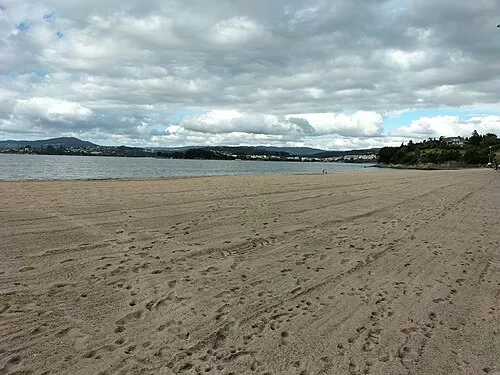 Playa Gandario Beach, Bergondo4.1 km SW
-
Río Lambre River, Spain4 km S
-
Playa Arnela Beach, Sada4.8 km W
-
Praia do Raso Beach, Ares6.7 km N
-
Illas da Miranda Island, Galicia7.6 km NW
-
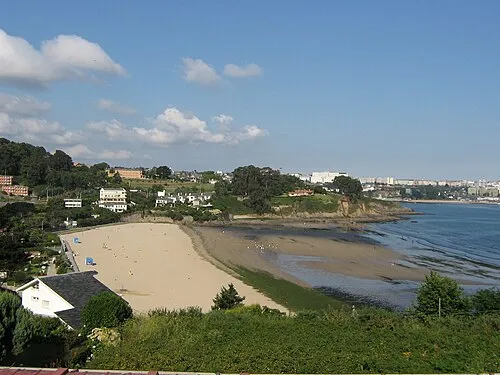 Playa de Bastiagueiro Beach, Oleiros13 km W
Sources & licences
Data last updated: