Cesuras
Located in Oza-Cesuras, A Coruña Coordinates: 43°10′22″ N 8°12′02″ W
- Population
- 2,422
- 2.4K
- Elevation
- 329 m
- above sea level
- Local time
- UTC+01:00
- Europe/Madrid · UTC+01:00
About Cesuras
Cesuras is a village. Location: Oza-Cesuras, A Coruña. Population: 2,422. Elevation: 329 m.
Cesuras was a municipality of northwestern Spain in the province of A Coruña, in the autonomous community of Galicia. It is located in the comarca of Betanzos. On June 6, 2013, the Xunta de Galicia government approved the decree the merger of the municipality with Oza dos Ríos, which created the Oza-Cesuras municipality.
Read more on Wikipedia Text: Wikipedia contributors · CC BY-SA 4.0 · shortened
At a glance
- Area
- 79.6 km²
Source: Wikidata
In comparison
- Nearest larger town: Abegondo, 8 km NW
- 3 sights and natural places within 10 km Río Govia, Castro das Cotorras
Nearby attractions & nature
Everything nearby-
Castro das Cotorras Historic site, Aranga9 km NE
-
Igrexa de San Vicente de Fervenzas Attraction, Aranga9.1 km NE
-
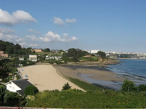 Playa de Bastiagueiro Beach, Oleiros23 km NW
-
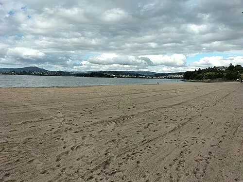 Playa Gandario Beach, Bergondo19 km N
-
Río Barcés River, Abegondo12 km NW
-
Río Mandeo River, Betanzos12 km N
Sources & licences
Data last updated: · 2 independent sources