Porto do Son
Located in A Coruña, Galicia Coordinates: 42°41′34″ N 8°59′47″ W
- Population
- 9,699
- 9.7K
- Elevation
- 263 m
- above sea level
- Local time
- UTC+01:00
- Europe/Madrid · UTC+01:00
- Places inside
- 44
- listed under Porto do Son
About Porto do Son
Porto do Son is a municipality. Location: A Coruña, Galicia. Population: 9,699. Elevation: 263 m.
O Porto do Son (Galician pronunciation: [ˈpɔɾtʊ ðʊ ˈsoŋ]) is a municipality in the province of A Coruña, in the autonomous community of Galicia, Spain. It belongs to the comarca of Noia. The municipality of Porto do Son encompasses a collection of coastal towns and villages in from including the town of O Porto do Son itself, and other towns such as Portosín. The area is around 25 km by 6 km and has many beaches along with some famous Celtic ruins, the castro (i.e., "hill fort") called the "Castro de Baroña".
Read more on Wikipedia Text: Wikipedia contributors · CC BY-SA 4.0 · shortened
At a glance
- Area
- 94.6 km²
Source: Wikidata
In comparison
- No. 22 of 91 places in A Coruña by population
- Nearest larger town: Boiro, 10 km SE
- 12 sights and natural places within 10 km Castro de Baroña, Castro de baroña
- Listed here: Village: 39, Historic site: 2, Mountain: 1, Museum: 1
Places in Porto do Son
44 places-
Porto do Son Town9.6K
-
Portosin Village630
-
Beneso Village112
-
Orellán Village77
-
Esparrelle Village32
-
Pozo Negro Village5
-
Alboreda Village
-
Baroña Village
-
Basoñas Village
-
Caamaño Village
-
Cabrais Village
-
Calo Village
-
Carballido Village
-
Carballosa Village
-
Carreira Village
-
Castrallón Village
-
Castro de baroña Historic site
-
Castro de Baroña Historic site
-
Goltar Village
-
Goyanes Village
-
Injerto de Abajo Village
-
Injerto de Arriba Village
-
Linteiros Village
-
Mantoño Village
-
Miñortos Village
-
Muro Village
-
Museo da memoria mariñeira Museum
-
Nebra Village
-
Noal Village
-
Penas Village
-
Pousacarro Village
-
Queiruga Village
-
Quintáns Village
-
Resua Village
-
Ribasieira Village
-
Seráns Village
-
Sierra de Barbanza Mountain
-
Silva Village
-
Tarrío Village
-
Tarrío Village
-
Trabes Village
-
Vilar Village
-
Xuño Village
-
Zapatal Village
Nearby attractions & nature
Everything nearby-
Monte Diraite Mountain, Lousame7.9 km NE
-
Os Forcados Mountain, Ribeira7 km S
-
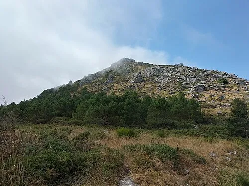 Monte Louro Mountain, Muros9 km NW
-
Río de Barbanza River, Pobra do Caramiñal7.3 km SE
-
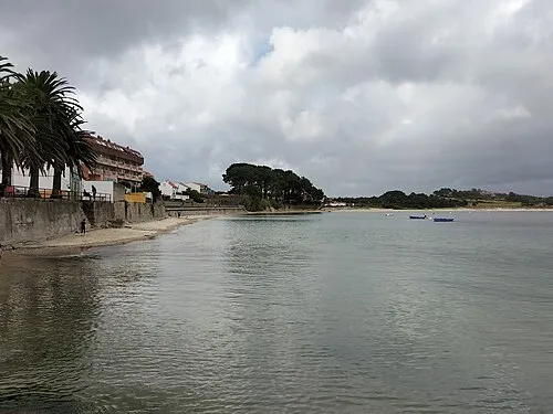 Playa Palmeira Beach, A Coruña13 km S
-
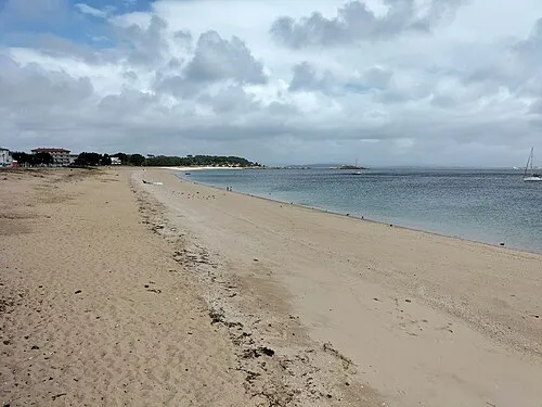 Playa Coroso Beach, A Coruña14 km S
-
Playa de Escarabote Beach, A Coruña9.9 km SE
-
Praia da Mercé Beach, A Coruña10 km SE
Sources & licences
Data last updated: · 2 independent sources