Outeiro de Rei
Located in Lugo, Galicia Coordinates: 43°06′59″ N 7°36′18″ W
- Population
- 5,046
- 5K
- Elevation
- 403 m
- above sea level
- Local time
- UTC+01:00
- Europe/Madrid · UTC+01:00
- Places inside
- 25
- listed under Outeiro de Rei
About Outeiro de Rei
Outeiro de Rei is a municipality. Location: Lugo, Galicia. Population: 5,046. Elevation: 403 m.
Outeiro de Rei is a municipality located in the province of Lugo, in the autonomous community of Galicia, Spain. It belongs to the comarca of Lugo. In 2016, it had a population of 5047 according to the INE.
Read more on Wikipedia Text: Wikipedia contributors · CC BY-SA 4.0 · shortened
At a glance
- Area
- 134 km²
Source: Wikidata
In comparison
- No. 13 of 67 places in Lugo by population
- Nearest larger town: Mos, 7 km NE
- 6 sights and natural places within 10 km Río Ladra, Río Támoga
- Listed here: Village: 22, River: 2, Town: 1
Places in Outeiro de Rei
25 places-
Outeiro de Rei Town5K
-
Aguiar Village
-
Aguiar Village
-
Aspay Village
-
Benade Village
-
Bonge Village
-
Caboy Village
-
Castelo Village
-
Cela Village
-
Folgueira Village
-
Francos Village
-
Guillar Village
-
Martul Village
-
Matela Village
-
Mosteiro Village
-
Parada Village
-
Paz Village
-
Río Lea River
-
Río Támoga River
-
Robra Village
-
Silvarrey Village
-
Sobrada Village
-
Taboy Village
-
Vicinte Village
-
Vilela Village
Nearby attractions & nature
Everything nearby-
Río Ladra River, Begonte2.9 km SW
-
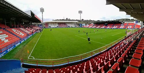 Estadio Anxo Carro Landmark, Lugo13 km S
-
Río Narla River, Lugo7.6 km S
-
Río Rozas River, Castro de Rei9.4 km E
-
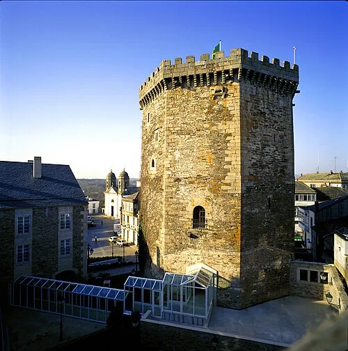 Castelo de Vilalba Historic site, Vilalba21 km N
-
Museo Interactivo da Historia de Lugo Museum, Lugo11 km S
-
Río Parga River, Guitiriz9.9 km NW
-
Repetidor televisión Retegal Landmark, Lugo12 km S
Sources & licences
Data last updated: · 2 independent sources