Ribas de Sil
Located in Lugo, Galicia Coordinates: 42°26′20″ N 7°17′43″ W
- Population
- 1,058
- 1.1K
- Elevation
- 665 m
- above sea level
- Local time
- UTC+01:00
- Europe/Madrid · UTC+01:00
- Places inside
- 11
- listed under Ribas de Sil
About Ribas de Sil
Ribas de Sil is a municipality. Location: Lugo, Galicia. Population: 1,058. Elevation: 665 m.
Ribas de Sil is a town and municipality in the province of Lugo, in the autonomous community of Galicia, Spain. It is part of the comarca of Quiroga. The town is not directly related to the monastery of Santo Estevo de Ribas de Sil, which is currently used as a parador and is located further west. The monastery is first mentioned in the 10th century, but is believed to have been founded here in between the 6th and 7th centuries.
Read more on Wikipedia Text: Wikipedia contributors · CC BY-SA 4.0 · shortened
At a glance
- Area
- 67.8 km²
Source: Wikidata
In comparison
- No. 63 of 67 places in Lugo by population
- Nearest larger town: Quiroga, 5 km N
- 9 sights and natural places within 10 km Rairos railway bridge, Castillo de Torrenovaes
- Listed here: Village: 10, River: 1
Places in Ribas de Sil
11 places-
Nogueira Village10
-
Chenzas Village2
-
Casares Village
-
Figueiredo Village
-
Peites Village
-
Piñeira de Abajo Village
-
Piñeira de Arriba Village
-
Regato de San Xoan River
-
Ribas del Sil Village
-
San Clodio Village
-
Torbeo Village
Nearby attractions & nature
Everything nearby-
Rairos railway bridge Landmark, Quiroga3.4 km NW
-
Castillo de Torrenovaes Historic site, Quiroga4.6 km NE
-
Río Lor River, Quiroga5 km NW
-
Río Soldón River, Quiroga5.8 km E
-
Regato Sanfitoiro River, Quiroga6.9 km SW
-
Río Navea River, Quiroga8.8 km SE
-
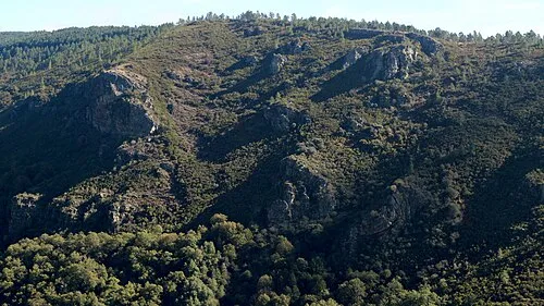 Serra do Courel Mountain, Folgoso do Courel19 km NE
-
Río Bibey River, Spain8.8 km SE
Sources & licences
Data last updated: · 2 independent sources