Souto
Located in Peroxa, A, Ourense Coordinates: 42°29′00″ N 7°45′00″ W
- Elevation
- 372 m
- above sea level
- Local time
- UTC+01:00
- Europe/Madrid · UTC+01:00
About Souto
Souto is a village. Location: Peroxa, A, Ourense. Elevation: 372 m.
In comparison
- Nearest larger town: Peroxa, A, 4 km SW
- 5 sights and natural places within 10 km Río Bubal, Río Sil
Nearby attractions & nature
Everything nearby-
Río Bubal River, Carballedo1.5 km S
-
Montes de San Paio Mountain, Pantón6.9 km NE
-
Río Sil River, Nogueira de Ramuín4.9 km SE
-
Río Cabe River, Sober9.2 km SE
-
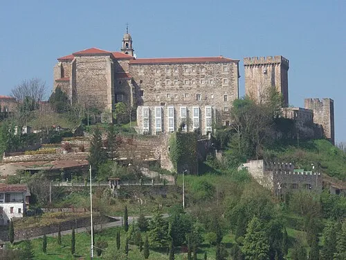 Monasterio de San Vicente del Pino Attraction, Monforte de Lemos20 km E
-
Museo Etnográfico de Arxeriz Museum, O Saviñao11 km NE
Sources & licences
Data last updated: