Agres
Located in Alicante, Valencia Coordinates: 38°47′15″ N 0°30′44″ W
- Population
- 598
- 598
- Elevation
- 621 m
- above sea level
- Local time
- UTC+01:00
- Europe/Madrid · UTC+01:00
- Places inside
- 3
- listed under Agres
About Agres
Agres is a municipality. Location: Alicante, Valencia. Population: 598. Elevation: 621 m.
Agres (Valencian and Spanish: [ˈaɣɾes]) is a town and municipality in the comarca of Comtat, in the province of Alicante, Valencian Community, Spain. It is situated between the Serra de Mariola and the Serra d'Agullent. It is bordered by Agullent, Benissoda and Albaida to the north; Muro d'Alcoi and Cocentaina to the east; Alfafara to the west and Alcoi to the south.
Read more on Wikipedia Text: Wikipedia contributors · CC BY-SA 4.0 · shortened
At a glance
- Area
- 25.8 km²
Source: Wikidata
In comparison
- No. 107 of 141 places in Alicante by population
- Nearest larger town: Agres, 1 km SW
- 19 sights and natural places within 10 km Cova Alta, Cova Alta
- Listed here: Mountain: 2, Village: 1
Places in Agres
3 placesNearby attractions & nature
Everything nearby-
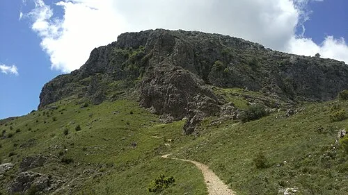 El Montcabrer Mountain, Cocentaina3.8 km SE
-
Museu Internacional de Titelles d'Albaida Museum, Albaida6.1 km N
-
Ontinyent Mediumwave Transmitter Landmark, Ontinyent6.6 km NW
-
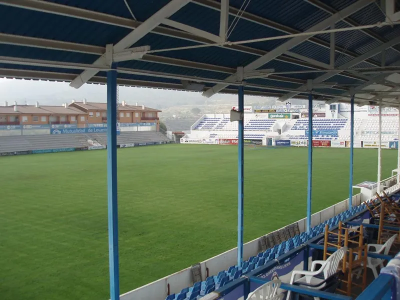 Estadio El Collao Landmark, Alcoy11 km S
-
Castillo de Cocentaina Historic site, Cocentaina7.3 km SE
-
Polideportivo Municipal Landmark, Cocentaina8.6 km SE
-
Benicadell Mountain, Beniatjar Municipality9.2 km NE
-
Parroquia San José Attraction, Ontinyent9 km NW
Sources & licences
Data last updated: · 2 independent sources