Castalla
Located in Alicante, Valencia Coordinates: 38°34′00″ N 0°38′45″ W
- Population
- 10,573
- 10.6K
- Elevation
- 614 m
- above sea level
- Local time
- UTC+01:00
- Europe/Madrid · UTC+01:00
- Places inside
- 4
- listed under Castalla
About Castalla
Castalla is a municipality. Location: Alicante, Valencia. Population: 10,573. Elevation: 614 m.
Castalla (Valencian: [kasˈtaʎa]; Spanish: [kasˈtaʎa]) is a town located in the comarca of Alcoià, in the province of Alicante, Spain. Castalla is located in a mountainous area, 35 km from Alicante.
Read more on Wikipedia Text: Wikipedia contributors · CC BY-SA 4.0 · shortened
At a glance
- Area
- 115 km²
Source: Wikidata
In comparison
- No. 38 of 141 places in Alicante by population
- Nearest larger town: Ibi, 9 km NE
- 8 sights and natural places within 10 km El Maigmó, Derramador
- Listed here: Village: 3, Town: 1
Places in Castalla
4 places-
Castalla Town10.3K
-
Casas Cabañes Village
-
Caserío El Campello Village
-
Caserío Los Alfasos Village
Nearby attractions & nature
Everything nearby-
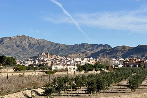 Sierra del Ventós Mountain, Agost10 km S
-
El Maigmó Mountain, Tibi7.3 km S
-
Derramador Natural site, Ibi8 km NE
-
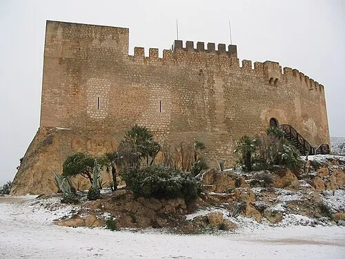 Castillo de Petrer Historic site, Petrer14 km SW
-
Parque Pocoyo Natural site, Ibi8.8 km NE
-
Parc de les Hortes Natural site, Ibi8.9 km NE
-
Museo de la Biodiversidad Museum, Ibi9 km NE
-
Museo del Juguete de Ibi Museum, Ibi9 km NE
Sources & licences
Data last updated: · 2 independent sources