Himledalen
Located in Varberg Municipality, Halland County Coordinates: 57°06′50″ N 12°25′37″ E
- Population
- 3,652
- 3.7K
- Elevation
- 40 m
- above sea level
- Local time
- UTC+01:00
- Europe/Stockholm · UTC+01:00
- Places inside
- 6
- listed under Himledalen
About Himledalen
Himledalen is a municipality. Location: Varberg Municipality, Halland County. Population: 3,652. Elevation: 40 m.
In comparison
- No. 6 of 45 places in Varberg Municipality by population
- Nearest larger town: Träslöv, 8 km W
- Listed here: Village: 6
Places in Himledalen
6 places-
Gödestad socken Village
-
Grimeton socken Village
-
Hunnestad socken Village
-
Nösslinge socken Village
-
Rolfstorp socken Village
-
Skällinge socken Village
Nearby attractions & nature
Everything nearby-
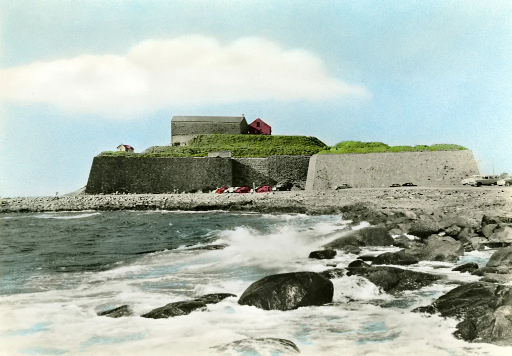 Varberg Fortress Historic site, Varberg socken11 km W
-
Kohall Natural site, Halland County11 km SW
-
Klöven Natural site, Halland County12 km W
-
Lilla Gubbanäsan Natural site, Halland County13 km W
-
Bondaholmen Island, Halland County14 km W
-
Nabben Natural site, Halland County12 km SW
-
Kullabacken Natural site, Halland County14 km W
-
Galtabäcksskär Island, Halland County12 km SW
Sources & licences
Data last updated: