Träslövsläge
Located in Varberg Municipality, Halland County Coordinates: 57°03′15″ N 12°16′44″ E
- Population
- 1,985
- 2K
- Elevation
- 11 m
- above sea level
- Local time
- UTC+01:00
- Europe/Stockholm · UTC+01:00
About Träslövsläge
Träslövsläge is a village. Location: Varberg Municipality, Halland County. Population: 1,985. Elevation: 11 m.
Träslövsläge is a locality situated in Varberg Municipality, Halland County, Sweden, with 2,600 inhabitants in 2010. Träslövsläge has a fishing harbour. Due to harbour expansion during the 20th century, this harbour has become the largest fishing harbour in Halland County. A part of the early settlements still exists along the narrow Storgatan. Träslövsläge has grown southwards and eastwards. Next to the fishing harbour lies a well-equipped marina. The marina has a petrol station and a restaurant.
Read more on Wikipedia Text: Wikipedia contributors · CC BY-SA 4.0 · shortened
At a glance
- Heritage designation
- Ramsar site
- Area
- 1.6 km²
Source: Wikidata
In comparison
- No. 10 of 45 places in Varberg Municipality by population
- Nearest larger town: Träslöv, 4 km N
- 9 sights and natural places within 10 km Galtabäcksskär, Kohall
Nearby attractions & nature
Everything nearby-
Kohall Natural site, Halland County2.7 km NW
-
Galtabäcksskär Island, Halland County2.6 km SE
-
Nabben Natural site, Halland County2.7 km NW
-
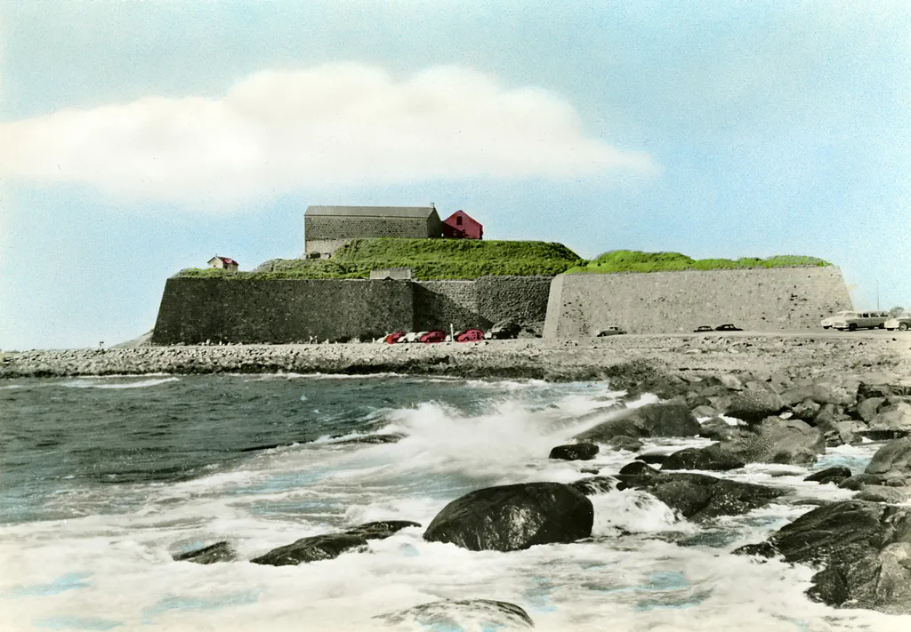 Varberg Fortress Historic site, Varberg socken6.2 km N
-
Klöven Natural site, Halland County7.2 km NW
-
Lilla Gubbanäsan Natural site, Halland County7.4 km NW
Sources & licences
Data last updated: · 2 independent sources