Tväråklumpen
Located in Åre Municipality, Jämtland County Coordinates: 63°12′00″ N 12°20′00″ E
- Elevation
- 1,010 m
- above sea level
- Local time
- UTC+01:00
- Europe/Stockholm · UTC+01:00
- Airports
- TRD Trondheim Airport, Værnes76 km
- RRS Røros Airport86 km
About Tväråklumpen
Tväråklumpen is a mountain. Location: Åre Municipality, Jämtland County. Elevation: 1,010 m. The nearest airport is Trondheim Airport, Værnes (76 km). Nearby sights include Stråten and Lillulvåfjället.
Climate of Tväråklumpen
This month · November
A cold month
Day -3° · Night -8° · Rain 63 mm
- Hottest month
- July (day 14°)
- Coldest month
- January (night -13°)
- Wettest month
- July (103 mm)
- Driest month
- May (47 mm)
Bars: average monthly low and high temperature. Below: precipitation. Monthly averages for 1970–2000 at about 18 km resolution, adjusted for elevation. Highlighted months are mild and relatively dry. Source: WorldClim 2.1 (CC BY 4.0).
Show values as a table
| Month | Jan | Feb | Mar | Apr | May | Jun | Jul | Aug | Sep | Oct | Nov | Dec |
|---|---|---|---|---|---|---|---|---|---|---|---|---|
| Average high (°C) | -6° | -6° | -3° | 0° | 6° | 12° | 14° | 12° | 7° | 2° | -3° | -5° |
| Average low (°C) | -13° | -13° | -10° | -7° | -1° | 3° | 5° | 4° | 1° | -3° | -8° | -11° |
| Precipitation (mm) | 64 | 54 | 49 | 49 | 47 | 79 | 103 | 92 | 99 | 81 | 63 | 69 |
How to get to Tväråklumpen
The nearest airport is Trondheim Airport, Værnes (TRD), 76 km to the northwest as the crow flies. The nearest large city is Trondheim, 100 km to the west.
Airports
- Trondheim Airport, Værnes (TRD) Trondheim 76 kmnorthwest
- Røros Airport (RRS) Røros 86 kmsouthwest
- Åre Östersund Airport (OSD) Östersund 109 kmeast
Nearby large cities
- Trondheim Population: 216.5K 100 kmwest
- Oslo Population: 1.1M 376 kmsouth
Straight-line distances; road distances are longer. Airport data: OurAirports.
Day trips from Tväråklumpen
Within 100 km: 3 historic and cultural sites, 87 natural sites, 4 lakes, rivers and coasts.
0–25 km17 places
- Järpön Island 16 kmNE
- Årsön Island 16 kmNE
- Västra Endalshöjden Mountain 13 kmS
- Tjallingklumpen Mountain 15 kmSE
25–60 km30 places
- Godön Island 51 kmN
- Skiltjulke Mountain 45 kmS
- Västra Middagsfjället Mountain 28 kmN
- Västerskutan Mountain 47 kmNE
60–100 km47 places
- Hästön Island 78 kmE
- Skildake Mountain 77 kmN
- Västra Kröket Mountain 89 kmS
- Uhtje Tjöure Mountain 96 kmNE
Straight-line distances.
Nearest towns and villages
-
Storlien Village, Åre Municipality18 km NW
-
Åre Municipality, Åre Municipality26 km NE
-
Duved Village, Åre Municipality35 km NE
-
Björnänge Village, Åre Municipality45 km NE
-
Undersåker Municipality, Åre Municipality55 km E
-
Undersåker Village, Åre Municipality48 km E
Nearby attractions & nature
Everything nearby-
Stråten Mountain, Åre Municipality5.6 km SE
-
Lillulvåfjället Mountain, Åre Municipality7.5 km S
-
Gräslidsfjället Mountain, Åre Municipality7.5 km W
-
Laptentjakke Mountain, Åre Municipality11 km SE
-
Västra Endalshöjden Mountain, Åre Municipality13 km S
-
Tjallingklumpen Mountain, Åre Municipality15 km SE
-
Storsola Mountain, Åre Municipality23 km S
-
Stantja Mountain, Åre Municipality18 km SE
More nature in Sweden
-
Storstensdalsfjället Mountain, Åre Municipality18 km E
-
Kleutjen Mountain, Åre Municipality19 km SE
-
Sylskalstöten Mountain, Åre Municipality22 km S
-
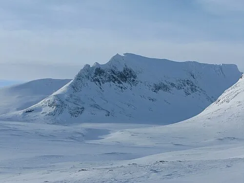 Templet Mountain, Åre Municipality22 km S
-
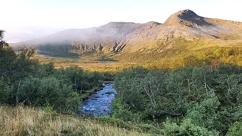 Lillstensdalsfjället Mountain, Åre Municipality22 km SE
-
Struopetjarve Mountain, Åre Municipality23 km SE
Sources & licences
Data last updated: · 2 independent sources