Gaskatjuolt
Located in Strömsund Municipality, Jämtland County Coordinates: 64°54′00″ N 14°16′00″ E
- Elevation
- 680 m
- above sea level
- Local time
- UTC+01:00
- Europe/Stockholm · UTC+01:00
- Airports
- MJF Mosjøen Airport, Kjærstad110 km
- BNN Brønnøysund Airport, Brønnøy115 km
About Gaskatjuolt
Gaskatjuolt is a mountain. Location: Strömsund Municipality, Jämtland County. Elevation: 680 m. The nearest airport is Mosjøen Airport, Kjærstad (110 km). Nearby sights include Ankernjuonje and Mesklumpen.
Climate of Gaskatjuolt
This month · November
A cold month
Day -3° · Night -8° · Rain 81 mm
- Hottest month
- July (day 15°)
- Coldest month
- January (night -14°)
- Wettest month
- January (96 mm)
- Driest month
- May (42 mm)
Bars: average monthly low and high temperature. Below: precipitation. Monthly averages for 1970–2000 at about 18 km resolution, adjusted for elevation. Highlighted months are mild and relatively dry. Source: WorldClim 2.1 (CC BY 4.0).
Show values as a table
| Month | Jan | Feb | Mar | Apr | May | Jun | Jul | Aug | Sep | Oct | Nov | Dec |
|---|---|---|---|---|---|---|---|---|---|---|---|---|
| Average high (°C) | -7° | -6° | -3° | 1° | 7° | 13° | 15° | 13° | 8° | 3° | -3° | -5° |
| Average low (°C) | -14° | -14° | -10° | -7° | -1° | 4° | 7° | 6° | 2° | -2° | -8° | -12° |
| Precipitation (mm) | 96 | 75 | 61 | 43 | 42 | 62 | 81 | 80 | 92 | 95 | 81 | 93 |
How to get to Gaskatjuolt
The nearest airport is Mosjøen Airport, Kjærstad (MJF), 110 km to the northwest as the crow flies. The nearest large city is Trondheim, 250 km to the southwest.
Airports
- Mosjøen Airport, Kjærstad (MJF) Mosjøen 110 kmnorthwest
- Brønnøysund Airport, Brønnøy (BNN) Brønnøy 115 kmnorthwest
- Vilhelmina South Lapland Airport (VHM) Vilhelmina 127 kmeast
Nearby large cities
- Trondheim Population: 216.5K 250 kmsouthwest
- Umeå Population: 130.2K 313 kmeast
Straight-line distances; road distances are longer. Airport data: OurAirports.
Nearest towns and villages
-
Ankarede Village, Strömsund Municipality9.4 km S
-
Stora Blåsjön Village, Strömsund Municipality11 km SW
-
Jorm Village, Strömsund Municipality23 km SW
-
Klimpfjäll Village, Vilhelmina Kommun31 km NE
-
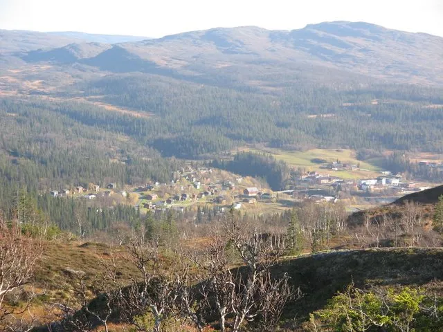 Røyrvik City, Røyrvik33 km W
-
Gäddede Village, Strömsund Municipality45 km S
Nearby attractions & nature
Everything nearby-
Ankernjuonje Mountain, Strömsund Municipality2 km SW
-
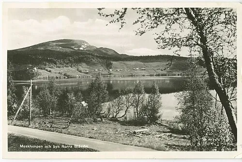 Mesklumpen Mountain, Strömsund Municipality8.4 km SW
-
Jorpatjuolt Mountain, Strömsund Municipality9.4 km SW
-
Tiksnjuonje Mountain, Strömsund Municipality12 km W
-
Ullersjöklumpen Mountain, Strömsund Municipality12 km S
-
Balter Mountain, Strömsund Municipality14 km SE
-
Lillfjället Mountain, Strömsund Municipality15 km W
-
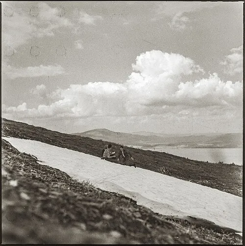 Brattlidfjället Mountain, Strömsund Municipality17 km SW
More nature in Sweden
-
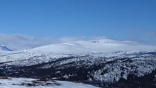 Praahkoevielientjahke Mountain, Strömsund Municipality19 km SW
-
Dårestjahke Mountain, Strömsund Municipality19 km SE
-
Sippmikken Mountain, Strömsund Municipality17 km N
-
Skeldetjahke Mountain, Strömsund Municipality20 km SE
-
Raurojåppo Mountain, Strömsund Municipality19 km N
-
Livkietjuolta Mountain, Strömsund Municipality20 km NE
Sources & licences
Data last updated: · 2 independent sources