Kalmar County
Local name: Kalmar län
Located in Sweden Coordinates: 57°20′00″ N 16°00′00″ E
- Population
- 246,667
- 246.7K
- Elevation
- 142 m
- above sea level
- Local time
- UTC+01:00
- Europe/Stockholm · UTC+01:00
- Places inside
- 277
- listed under Kalmar County
About Kalmar County
Kalmar County is a region. Location: Sweden. Population: 246,667.
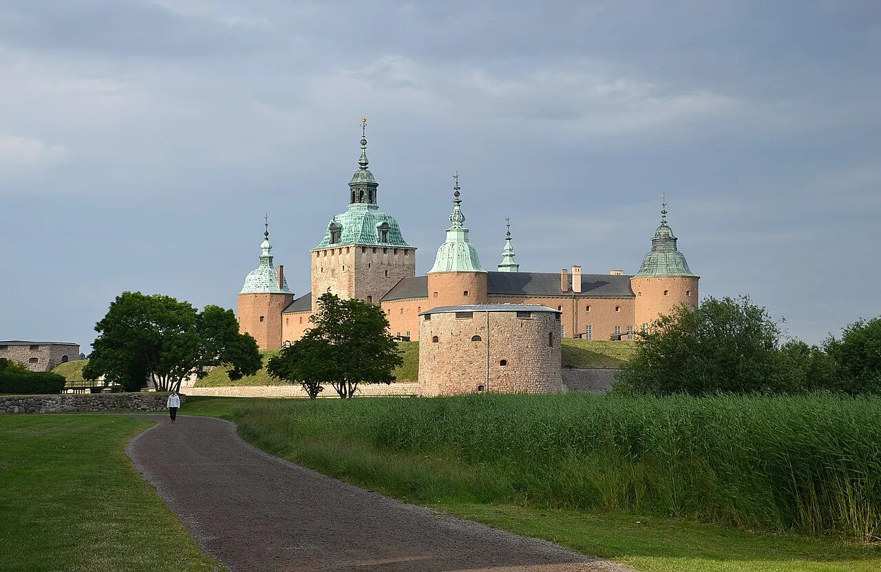
Kalmar County (Swedish: Kalmar län, pronounced [ˈkǎlmar lɛːn]) is a county or län in southern Sweden. It borders the counties of Kronoberg, Jönköping, Blekinge and Östergötland. To the east in the Baltic Sea is the island Gotland. The counties are mainly administrative units. Geographically Kalmar County covers the eastern part in the Småland province, and the entire island of Öland.
Read more on Wikipedia Text: Wikipedia contributors · CC BY-SA 4.0 · shortened
At a glance
- Built
- 1634
- Area
- 11,218 km²
Source: Wikidata
In comparison
- Listed here: Island: 218, Natural site: 42, District: 12, Village: 4
Places in Kalmar County
277 places-
Nordmannen Island
-
Nordmansskär Island
-
Norra Björkskär Island
-
Norra Bockholmen Island
-
Norra Fäholmen Natural site
-
Norra Kalvholmen Island
-
Norra Majör Island
-
Norra Skallö Island
-
Norra Tängsholmen Island
-
Norrlandet Natural site
-
Norrskär Island
-
Norstö Island
-
Norstöudde Natural site
-
Nötgårdsö Island
-
Nötö Natural site
-
Nötö Natural site
-
Oknöskär Island
-
Örarna Island
-
Ormö Island
-
Örnholmen Island
-
Orrholme Island
-
Örskär Island
-
Örvikeholmen Island
-
Päraudden Natural site
-
Päronholmen Island
-
Paslan Island
-
Pata Eneskär Island
-
Pinneholmen Island
-
Porsholmen Island
-
Rafshagsudden Natural site
-
Ramsö Island
-
Ramsö Island
-
Rolsö Island
-
Rotsö Island
-
Tryserum Village
-
Yttre Gundleholmen Island
-
Yttre Långskär Island
Largest cities and towns
-
Västervik City, Västervik Municipality21.2K
-
Oskarshamn City, Oskarshamns Kommun18.3K
-
Nybro City, Nybro Municipality13K
-
Lindsdal Town, Kalmar Municipality5.7K
-
Torsås City, Torsås Kommun2K
-
Vimmerby City, Vimmerby Municipality8K
-
Kalmar City, Kalmar Municipality38.4K
-
Hultsfred City, Hultsfred Municipality5.5K
Nature and heritage in Kalmar County
-
Solliden Palace Historic site, Räpplinge socken
-
Henriksnäsberg Mountain, Västervik Municipality
-
Eketorp Fort Historic site, Gräsgård socken
-
Bastuholmen Island, Lofta socken
-
Ytterskär Island, Vickleby socken
-
Tjuvkyrkeberget Mountain, Västervik Municipality
Other regions in Sweden
-
Hultsfred Municipality District, Kalmar County14 km NW
-
 Kronoberg County Region, Sweden110 km SW
-
 Blekinge County Region, Sweden119 km S
-
Oskarshamns Kommun District, Kalmar County23 km E
-
Högsby Municipality District, Kalmar County20 km S
-
Östergötland County Region, Sweden122 km N
Sources & licences
Data last updated: · 2 independent sources