Kirseberg
Located in Malmö Municipality, Skåne County Coordinates: 55°36′36″ N 13°02′24″ E
- Elevation
- 11 m
- above sea level
- Local time
- UTC+01:00
- Europe/Stockholm · UTC+01:00
About Kirseberg
Kirseberg is a neighbourhood. Location: Malmö Municipality, Skåne County.
Kirseberg (literally "Cherry hill") was a city district (Swedish: stadsdel) in the north of Malmö Municipality, Sweden. On 1 July 2013, it was merged with Centrum, forming Norr. In 2012, Kirseberg had a population of 14,959 of the municipality's 307,758. Its area was 640 hectares. After World War I, many large tenement buildings were built in haste, often without sewers, and Kirseberg's water tower was quickly converted to housing to reduce the acute housing shortage. Most of Malmö's poor families lived here.
Read more on Wikipedia Text: Wikipedia contributors · CC BY-SA 4.0 · shortened
In comparison
Nearby attractions & nature
Everything nearby-
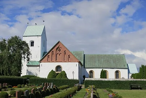 Vellinge kyrka Attraction, Vellinge socken16 km S
-
Näset Natural site, Skåne County19 km S
-
Dynan Island, Skåne County13 km SW
Sources & licences
Data last updated: · 2 independent sources