Åheden
Located in Umeå Kommun, Västerbotten County Coordinates: 63°41′00″ N 20°03′00″ E
- Elevation
- 5 m
- above sea level
- Local time
- UTC+01:00
- Europe/Stockholm · UTC+01:00
About Åheden
Åheden is a village. Location: Umeå Kommun, Västerbotten County. Elevation: 5 m.
Åheden is an ancient agricultural society, with about 55 people living (December 2008) 25 km south of Umeå, in northern Sweden near the Arctic Circle, between localities Sörmjöle and Norrmjöle. Åheden is located at Flour bay. The name comes from Åhedån flowing through the southern part of the village. Near the dried-up channel of the Skellefte river is the Åheden nature reserve.
Read more on Wikipedia Text: Wikipedia contributors · CC BY-SA 4.0 · shortened
In comparison
- Nearest larger town: Sörmjöle, 2 km W
- 4 sights and natural places within 10 km Nygrundet, Karthällan
Nearby attractions & nature
Everything nearby-
Nygrundet Island, Västerbotten County1.9 km S
-
Karthällan Island, Västerbotten County7.7 km S
-
Flakaskär Natural site, Västerbotten County8.7 km E
-
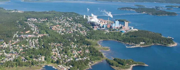 Obbolaön Island, Västerbotten County13 km E
-
Antrevet Island, Västerbotten County9.4 km S
-
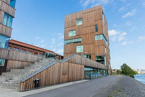 Bildmuseet Museum, Umeå stad socken19 km NE
Sources & licences
Data last updated: · 2 independent sources