Sävar
Located in Umeå Kommun, Västerbotten County Coordinates: 63°54′14″ N 20°33′01″ E
- Population
- 2,968
- 3K
- Elevation
- 41 m
- above sea level
- Local time
- UTC+01:00
- Europe/Stockholm · UTC+01:00
About Sävar
Sävar is a village. Location: Umeå Kommun, Västerbotten County. Population: 2,968. Elevation: 41 m.
Sävar (Swedish pronunciation: [ˈsɛ̂ːvar]) is a locality situated in Umeå Municipality, Västerbotten County, Sweden with 2,670 inhabitants in 2010. It is located by E4 about 15 km north of Umeå, Sweden, and is mostly known for being the last battlefield of the Finnish War.
Read more on Wikipedia Text: Wikipedia contributors · CC BY-SA 4.0 · shortened
At a glance
- Area
- 3.4 km²
Source: Wikidata
In comparison
- No. 11 of 43 places in Umeå Kommun by population
- Nearest larger town: Sävar-Holmön, 0 km N
Nearby attractions & nature
Everything nearby-
Laduskäret Natural site, Västerbotten County10 km SE
-
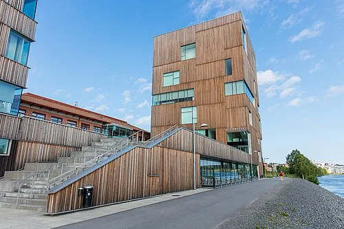 Bildmuseet Museum, Umeå stad socken16 km SW
-
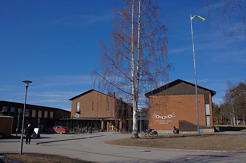 Västerbottens Museum Museum, Umeå stad socken15 km SW
-
Ostön Natural site, Västerbotten County12 km SE
-
Diskgrundet Island, Västerbotten County12 km S
-
Bredögern Island, Västerbotten County12 km S
Sources & licences
Data last updated: · 2 independent sources