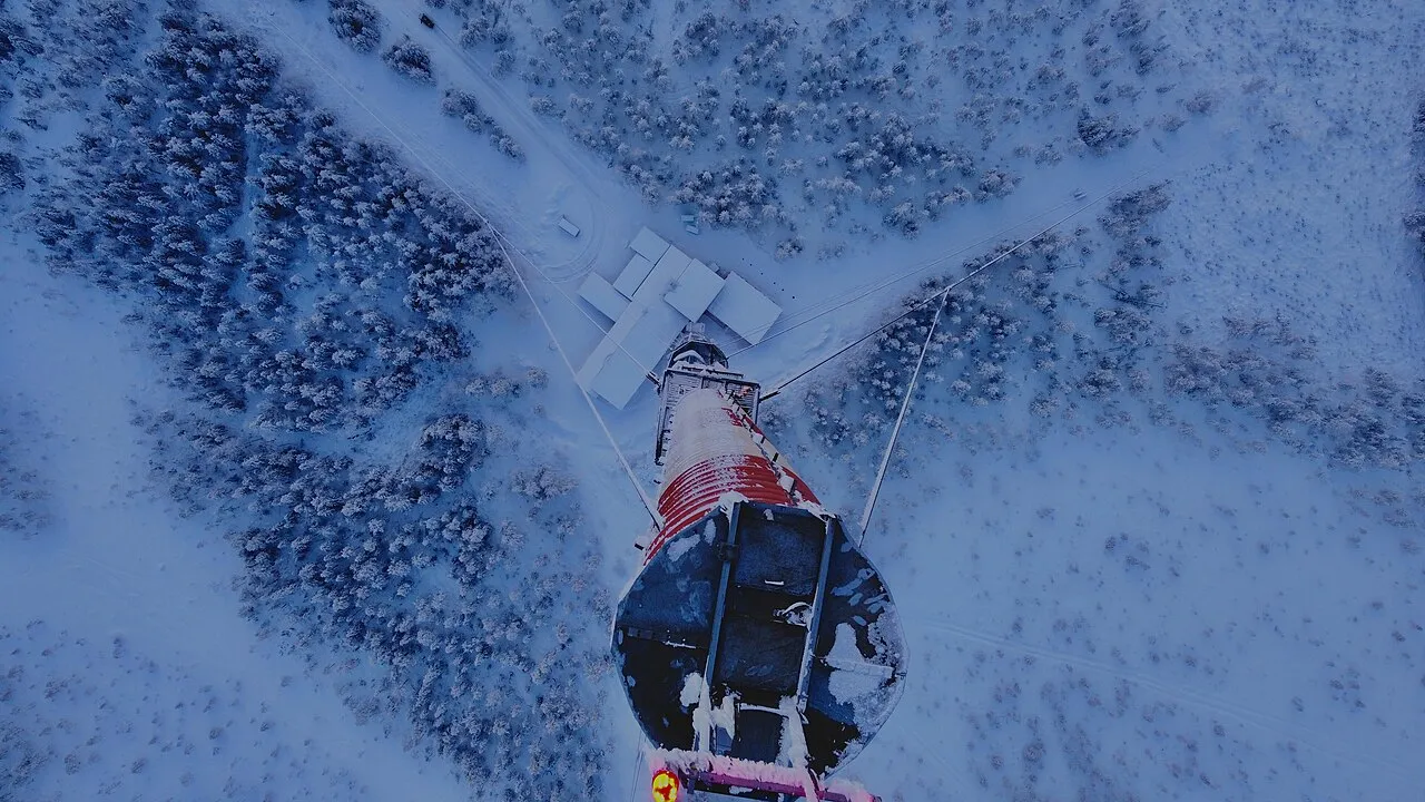
Vännäs TV Tower
Located in Vännäs Municipality, Västerbotten County Coordinates: 63°50′25″ N 19°49′22″ E
- Local time
- UTC+01:00
- Europe/Stockholm · UTC+01:00
- Elevation
- 204 m
- above sea level
About Vännäs TV Tower
Vännäs TV Tower is a landmark. Location: Vännäs Municipality, Västerbotten County.
Vännäs TV Tower (Swedish: Vännäsmasten) is a Swedish concrete television tower that has a mast on top. It is used for transmitting FM-/TV-broadcasting. The Vännäs TV Tower resembles the Gerbrandy Tower in IJsselstein, the Netherlands. They both are a concrete tower with a steel mast on top that is guyed to the ground. The Gerbrandy Tower is 367 m (1,204 ft) tall, while the Vännäs Tower is shorter at 323 m (1,060 ft) tall. Vännäs TV Tower was close to collapsing due to heavy icing in 1988.
Read more on Wikipedia Text: Wikipedia contributors · CC BY-SA 4.0 · shortened
At a glance
- Built
- 1988
- Height
- 323 m
Source: Wikidata
Airports nearest to Vännäs TV Tower
- Umeå Airport (UME) Umeå 23 km
- Örnsköldsvik Airport (OER) Örnsköldsvik 63 km
- Lycksele Airport (LYC) Lycksele 95 km
Straight-line distance; airports with scheduled flights only. Source: OurAirports (public domain).
Nearby attractions & nature
Everything nearby-
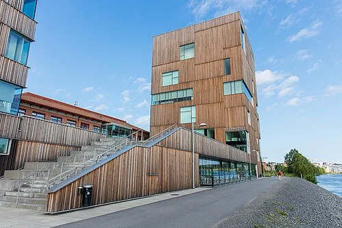 Bildmuseet Museum, Umeå stad socken22 km E
-
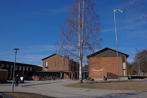 Västerbottens Museum Museum, Umeå stad socken23 km E
-
Nygrundet Island, Västerbotten County22 km SE
Nearest towns and villages
Sources & licences
Data last updated: · 2 independent sources