Ängholmen
Located in Västra Götaland County, Sweden Coordinates: 57°39′47″ N 11°50′43″ E
- Elevation
- 6 m
- above sea level
- Local time
- UTC+01:00
- Europe/Stockholm · UTC+01:00
About Ängholmen
Ängholmen is an island. Location: Västra Götaland County, Sweden.
In comparison
- 41 sights and natural places within 10 km Lilla Jonsholmen, Oscar II Fort
Nearest towns and villages
-
Älvsborg Municipality, Gothenburg Municipality1.7 km NE
-
Tynnered Municipality, Gothenburg Municipality2.7 km SE
-
Västra Frölunda Municipality, Gothenburg Municipality4.8 km E
-
Asperö Village, Gothenburg Municipality3.5 km SW
-
Majorna Neighbourhood, Gothenburg Municipality5.3 km NE
-
Västra Frölunda Town, Gothenburg Municipality5.3 km E
Nearby attractions & nature
Everything nearby-
Lilla Jonsholmen Island, Västra Götaland County1.1 km S
-
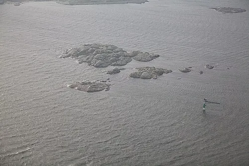 Hunneskär Island, Västra Götaland County1.8 km NW
-
Kuskär Island, Västra Götaland County3.2 km W
-
Asperö Island, Västra Götaland County3.1 km SW
-
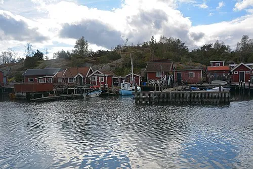 Lilla Rösö Island, Västra Götaland County3.3 km SE
-
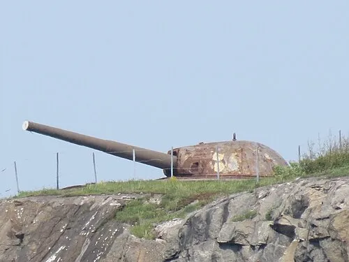 Oscar II Fort Historic site, Gothenburg Municipality1.4 km N
-
Hjärtholmen Island, Västra Götaland County4 km NW
-
Ganle Natural site, Västra Götaland County4 km SE
More lakes, rivers and coasts in Sweden
-
Brattholmen Island, Västra Götaland County4 km SW
-
Risholmen Island, Västra Götaland County4.3 km NW
-
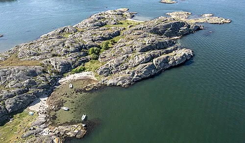 Långholmen Island, Västra Götaland County4.6 km S
-
Brännö Island, Västra Götaland County4.7 km SW
-
Hängesten Island, Västra Götaland County4.8 km SE
-
Galterö Island, Västra Götaland County6.5 km W
Sources & licences
Data last updated: · 2 independent sources