Härryda Municipality
Located in Västra Götaland County, Sweden Coordinates: 57°40′38″ N 12°19′12″ E
- Population
- 40,012
- 40K
- Elevation
- 139 m
- above sea level
- Local time
- UTC+01:00
- Europe/Stockholm · UTC+01:00
- Places inside
- 13
- listed under Härryda Municipality
About Härryda Municipality
Härryda Municipality is a district. Location: Västra Götaland County, Sweden. Population: 40,012.
In comparison
- Listed here: Village: 7, Municipality: 4, City: 1, Town: 1
Places in Härryda Municipality
13 places-
Mölnlycke City17.6K
-
Råda Municipality16.3K
-
Landvetter Town8.8K
-
Landvetter Municipality9K
-
Björketorp Municipality6K
-
Härryda Municipality2.3K
-
Härryda Village861
-
Hällingsjö Village459
-
Benareby Village385
-
Rya Village365
-
Nya Långenäs Village339
-
Djupedalsäng Village265
-
Pixbo Village
Nearby attractions & nature
Everything nearby-
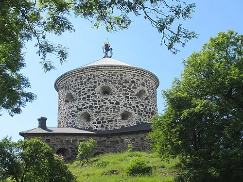 Lion Sconce Historic site, Gothenburg20 km W
-
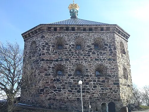 Crown Redoubt Historic site, Gothenburg22 km W
-
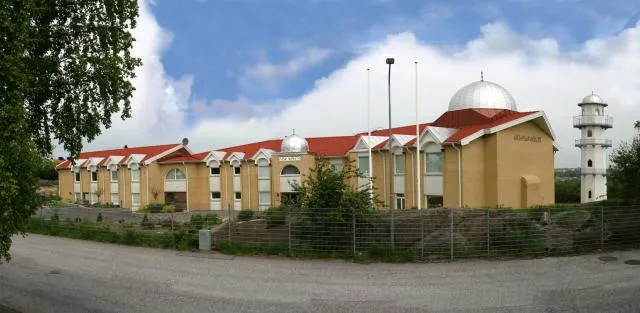 Nasir Mosque Attraction, Gothenburg24 km W
Sources & licences
Data last updated: