Kållandsö
Located in Västra Götaland County, Sweden Coordinates: 58°40′00″ N 13°09′00″ E
- Elevation
- 53 m
- above sea level
- Local time
- UTC+01:00
- Europe/Stockholm · UTC+01:00
- Population
- 1,100
- 1.1K
About Kållandsö
Kållandsö is an island. Location: Västra Götaland County, Sweden. Population: 1,100.
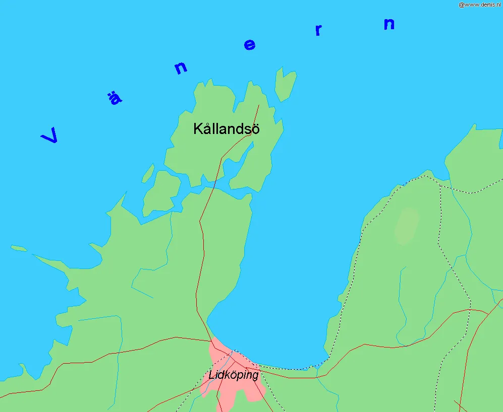
Kållandsö is an island in lake Vänern in Sweden. With an area of 56.78 km² it is the second largest island in the lake after Torsö. It is the northernmost part of the municipality of Lidköping. Kållandsö and the surrounding archipelago has about 1,100 inhabitants. Because of its location and its attractions like Läckö Castle, the island is a popular tourist destination.
Read more on Wikipedia Text: Wikipedia contributors · CC BY-SA 4.0 · shortened
At a glance
- Length
- 9 km
- Area
- 56.8 km²
Source: Wikidata
In comparison
- 3 sights and natural places within 10 km Lilla Eken, Klitt
Nearest towns and villages
-
Otterstad socken Village, Sunnersberg1.6 km N
-
Otterstad Village, Lidköping Municipality2.1 km SE
-
Spiken Village, Lidköping Municipality4.3 km NE
-
Sunnersberg Municipality, Lidköping Municipality10 km S
-
Strö socken Village, Sunnersberg7.9 km SW
-
Kinnekulle Municipality, Götene Municipality16 km SE
Nearby attractions & nature
Everything nearby-
Lilla Eken Island, Västra Götaland County6.3 km NE
-
Klitt Island, Västra Götaland County6.9 km SW
-
Långö Island, Västra Götaland County9.5 km SW
-
Husön Island, Värmland County15 km N
-
Hökön Island, Värmland County20 km N
-
Korsholmen Island, Värmland County21 km N
-
 Hinden Natural site, Västra Götaland County19 km SW
Sources & licences
Data last updated: · 2 independent sources