Orust
Located in Västra Götaland County, Sweden Coordinates: 58°10′00″ N 11°38′00″ E

- Elevation
- 34 m
- above sea level
- Local time
- UTC+01:00
- Europe/Stockholm · UTC+01:00
- Population
- 15,160
- 15.2K
About Orust
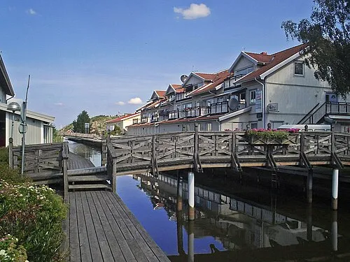
Orust is an island. Location: Västra Götaland County, Sweden. Population: 15,160.
Orust (Swedish pronunciation: [ˈûːrɵst]) is an island in Bohuslän, western Sweden. In 2014 Statistics Sweden declared it to be the fourth largest island in Sweden, under a definition which adds artificial canals to the possible bodies of water surrounding an island. It has been noted that under this definition, all of Götaland would be the country's largest island, rendering Orust instead the fifth largest. It is Sweden's third largest naturally created island.
Read more on Wikipedia Text: Wikipedia contributors · CC BY-SA 4.0 · shortened
At a glance
- Length
- 23 km
- Area
- 346 km²
Source: Wikidata
In comparison
- 25 sights and natural places within 10 km Kalvön, Lyngnholmen
Nearest towns and villages
Nearby attractions & nature
Everything nearby-
Kalvön Island, Västra Götaland County5.7 km S
-
Lyngnholmen Island, Västra Götaland County5.9 km S
-
Knösen Island, Västra Götaland County6.6 km SW
-
Långholmen Island, Västra Götaland County6.5 km S
-
Högholmen Natural site, Västra Götaland County8.1 km NW
-
Hjälm Island, Västra Götaland County7.5 km S
-
Klöven Island, Västra Götaland County7.4 km SE
-
Koljön Island, Västra Götaland County7.9 km NW
Sources & licences
Data last updated: · 2 independent sources