Vårgårda Municipality
Located in Västra Götaland County, Sweden Coordinates: 57°59′16″ N 12°46′08″ E
- Population
- 12,485
- 12.5K
- Elevation
- 106 m
- above sea level
- Local time
- UTC+01:00
- Europe/Stockholm · UTC+01:00
- Places inside
- 13
- listed under Vårgårda Municipality
About Vårgårda Municipality
Vårgårda Municipality is a district. Location: Västra Götaland County, Sweden. Population: 12,485.
In comparison
- Listed here: Village: 7, Municipality: 5, City: 1
Airports nearest to Vårgårda Municipality
- Trollhättan-Vänersborg Airport (THN) Trollhättan 44 km
- Göteborg Landvetter Airport (GOT) Göteborg 46 km
- Jönköping Airport (JKG) Jönköping 81 km
Straight-line distance; airports with scheduled flights only. Source: OurAirports (public domain).
Places in Vårgårda Municipality
13 places-
Algutstorp Municipality6.2K
-
Vårgårda City5.4K
-
Jonstorp Village1.8K
-
Lena Municipality1.6K
-
Hol Municipality1.4K
-
Nårunga Municipality1.1K
-
Asklanda Municipality666
-
Östadkulle Village401
-
Horla Village209
-
Bergstena Village138
-
Algutstorp Village
-
Äne Village
-
Nårunga Village
Nearby attractions & nature
Everything nearby-
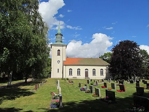 Lekåsa kyrka Attraction, Lekåsa socken18 km N
-
Bokö Island, Västra Götaland County23 km SW
Sources & licences
Data last updated: