Rothenfluh
Located in Sissach District, Basel-Landschaft Coordinates: 47°27′45″ N 7°54′59″ E
- Population
- 764
- 764
- Elevation
- 477 m
- above sea level
- Local time
- UTC+01:00
- Europe/Zurich · UTC+01:00
- Places inside
- 1
- listed under Rothenfluh
About Rothenfluh
Rothenfluh is a municipality. Location: Sissach District, Basel-Landschaft. Population: 764. Elevation: 477 m.
In comparison
- No. 14 of 29 places in Sissach District by population
- Nearest larger town: Tecknau, 3 km SW
- 23 sights and natural places within 10 km Unterer Talweiher, Oberer Talweiher
Places in Rothenfluh
1 place-
Rothenfluh Village
Nearby attractions & nature
Everything nearby-
Unterer Talweiher Lake, Anwil1.4 km SE
-
Oberer Talweiher Lake, Anwil1.6 km SE
-
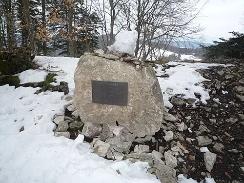 Geissflue Mountain, Oltingen5.6 km SE
-
Wittnauer Horn Mountain, Wittnau4 km NE
-
Stellichopf Mountain, Kienberg4.9 km SE
-
Schnäpfenflueli Mountain, Oltingen4.3 km SE
-
Leutschenberg Mountain, Stüsslingen5.8 km S
-
Farnsburg Historic site, Ormalingen4.8 km NW
Sources & licences
Data last updated: