Waldenburg District
Located in Basel-Landschaft, Switzerland Coordinates: 47°23′37″ N 7°44′29″ E
- Population
- 16,118
- 16.1K
- Elevation
- 538 m
- above sea level
- Local time
- UTC+01:00
- Europe/Zurich · UTC+01:00
- Places inside
- 15
- listed under Waldenburg District
About Waldenburg District
Waldenburg District is a district. Location: Basel-Landschaft, Switzerland. Population: 16,118.
In comparison
- 42 sights and natural places within 10 km Dielenberg, Holznechhübel
- Listed here: Municipality: 15
Places in Waldenburg District
15 places-
Hölstein Municipality2.6K
-
Oberdorf Municipality2.4K
-
Niederdorf Municipality1.8K
-
Diegten Municipality1.6K
-
Reigoldswil Municipality1.6K
-
Waldenburg Municipality1.1K
-
Langenbruck Municipality957
-
Bretzwil Municipality753
-
Bennwil Municipality667
-
Arboldswil Municipality580
-
Eptingen Municipality535
-
Lampenberg Municipality508
-
Titterten Municipality419
-
Lauwil Municipality315
-
Liedertswil Municipality167
Nature and heritage in Waldenburg District
-
Walten Mountain, Eptingen
-
Bilsteinberg Mountain, Langenbruck
-
Steinenberg Mountain, Langenbruck
-
Hohi Stelli Mountain, Bennwil
-
Hornenberg Mountain, Bennwil
-
Dielenberg Mountain, Oberdorf
Nearby attractions & nature
Everything nearby-
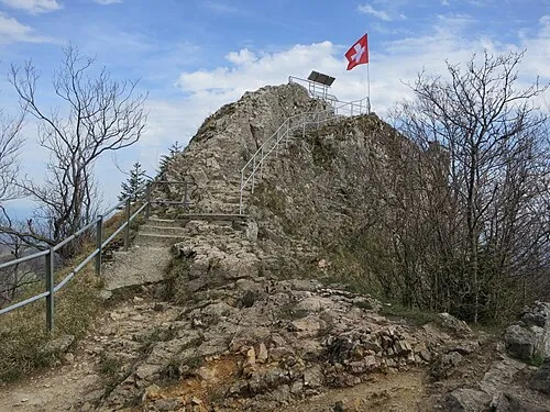 Belchenflue Mountain, Hägendorf6.2 km SE
-
Ruchen Mountain, Hägendorf6.1 km SE
-
Vogelberg (Passwang) Mountain, Mümliswil-Ramiswil5.3 km SW
-
Vogelberg Mountain, Mümliswil-Ramiswil5.3 km SW
-
Drootziejer Mountain, Hägendorf6.6 km SE
-
Hard Mountain, Läufelfingen6.6 km E
Sources & licences
Data last updated: