- Elevation
- 2,135 m
- above sea level
- Local time
- UTC+01:00
- Europe/Zurich · UTC+01:00
- Airports
- ZRH Zürich Airport62 km
- BRN Bern Airport73 km
About Zwelfer
Zwelfer is a mountain. Location: Wolfenschiessen, Nidwalden. Elevation: 2,135 m. The nearest airport is Zürich Airport (62 km). Nearby sights include Brisen and Hoh Brisen.
Photos of Zwelfer
-
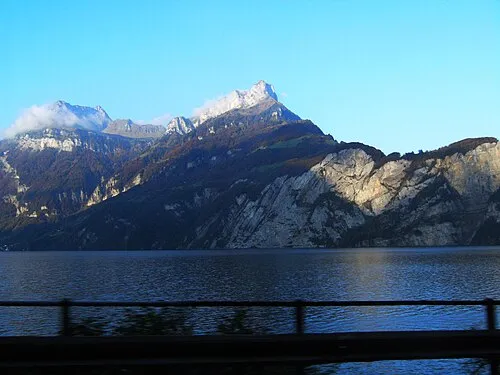
Oberbauenstock Oblic · CC BY-SA 3.0 -
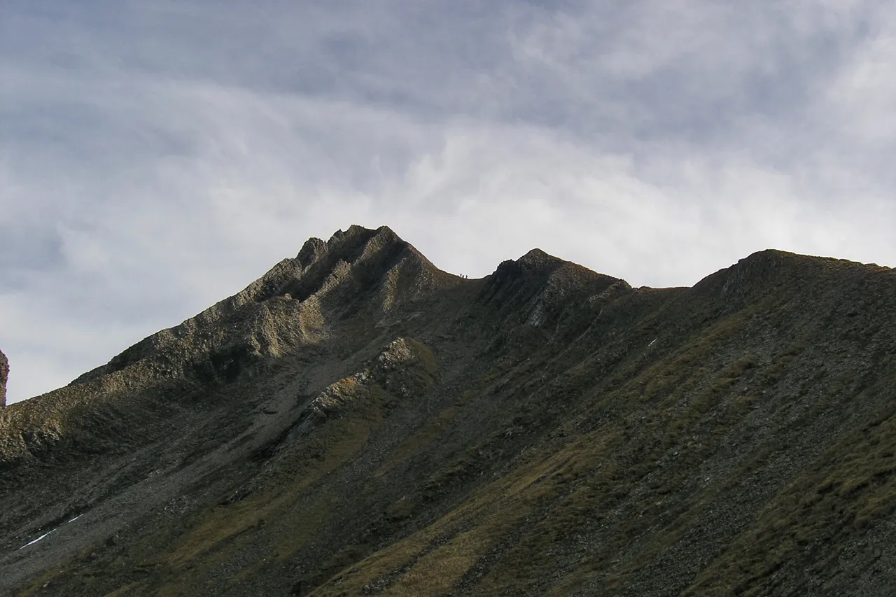
Brisen Stephan Wiesner · CC BY-SA 3.0 -
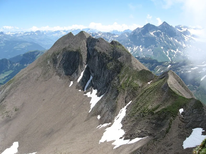
Hoh Brisen Caumasee at German Wikipedia · Public domain


Climate of Zwelfer
This month · November
A wet month
Day -1° · Night -7° · Rain 121 mm
- Hottest month
- July (day 13°)
- Coldest month
- January (night -11°)
- Wettest month
- July (166 mm)
- Driest month
- January (97 mm)
Bars: average monthly low and high temperature. Below: precipitation. Monthly averages for 1970–2000 at about 18 km resolution, adjusted for elevation. Highlighted months are mild and relatively dry. Source: WorldClim 2.1 (CC BY 4.0).
Show values as a table
| Month | Jan | Feb | Mar | Apr | May | Jun | Jul | Aug | Sep | Oct | Nov | Dec |
|---|---|---|---|---|---|---|---|---|---|---|---|---|
| Average high (°C) | -5° | -4° | -1° | 2° | 7° | 10° | 13° | 12° | 9° | 4° | -1° | -4° |
| Average low (°C) | -11° | -11° | -9° | -6° | -2° | 1° | 4° | 4° | 1° | -3° | -7° | -10° |
| Precipitation (mm) | 97 | 101 | 107 | 121 | 133 | 165 | 166 | 161 | 122 | 118 | 121 | 110 |
How to get to Zwelfer
The nearest airport is Zürich Airport (ZRH), 62 km to the north as the crow flies. The nearest large city is Zurich, 52 km to the north.
Airports
- Zürich Airport (ZRH) Zurich 62 kmnorth
- Bern Airport (BRN) Bern 73 kmwest
- EuroAirport Basel–Mulhouse–Freiburg (BSL) Bâle / Mulhouse 105 kmnorthwest
Nearby large cities
- Zurich Population: 415.4K 52 kmnorth
- Winterthur Population: 111.8K 69 kmnorth
- Bern Population: 121.6K 77 kmwest
- Basel Population: 177.6K 99 kmnorthwest
- Mulhouse Population: 111.4K 127 kmnorthwest
Straight-line distances; road distances are longer. Airport data: OurAirports.
Day trips from Zwelfer
Within 100 km: 348 historic and cultural sites, 6,420 natural sites, 988 lakes, rivers and coasts.
0–25 km909 places
- Insel Schwanau Island 17 kmNE
- Sankt-Niklausen-Insle Island 16 kmNW
- Neptun-Inseln Island 11 kmE
- Lorelei-Inseln Island 11 kmE
25–60 km2,815 places
- Fahr Abbey Attraction 56 kmN
- Strandbad Neuhaus Beach 55 kmSW
- Strandbad Manor Farm Beach 56 kmSW
- Strandbad Leissigen Beach 60 kmSW
60–100 km4,032 places
- Kleiner Bremgartenwald Mountain 79 kmW
- Strandbad Steckborn Beach 92 kmNE
- Isole di Brissago Island 89 kmS
- Sant' Apollinare Island 88 kmS
Straight-line distances.
Nearest towns and villages
-
Chrüzhütten Village, Wolfenschiessen1.3 km NW
-
Unterem Stock Village, Beckenried0.8 km N
-
Chäserstad Village, Wolfenschiessen1.6 km W
-
Schinberghütte Village, Beckenried1.1 km N
-
Hüethütte Village, Wolfenschiessen1.8 km NW
-
Morschfeld Village, Beckenried1.2 km N
Nearby attractions & nature
Everything nearby-
Brisen Mountain, Isenthal0.9 km S
-
Hoh Brisen Mountain, Isenthal1.1 km S
-
Wild Alpeli Mountain, Isenthal0.6 km S
-
Elfer Natural site, Canton of Nidwalden0.6 km NE
-
Elfer Mountain, Beckenried0.4 km NE
-
Steinalp Mountain, Wolfenschiessen0.9 km W
-
Waldbrueder Mountain, Wolfenschiessen0.6 km W
-
Waldbrueder Natural site, Canton of Nidwalden0.9 km NW
Sources & licences
Data last updated: