- Elevation
- 1,538 m
- above sea level
- Local time
- UTC+01:00
- Europe/Zurich · UTC+01:00
- Airports
- ZRH Zürich Airport63 km
- BRN Bern Airport76 km
About Sulztal
Sulztal is a natural site. Location: Canton of Uri, Switzerland. The nearest airport is Zürich Airport (63 km). Nearby sights include Alpeler and Chessel.
Climate of Sulztal
This month · November
A wet month
Day 3° · Night -3° · Rain 121 mm
- Hottest month
- July (day 16°)
- Coldest month
- January (night -7°)
- Wettest month
- July (166 mm)
- Driest month
- January (97 mm)
Bars: average monthly low and high temperature. Below: precipitation. Monthly averages for 1970–2000 at about 18 km resolution, adjusted for elevation. Highlighted months are mild and relatively dry. Source: WorldClim 2.1 (CC BY 4.0).
Show values as a table
| Month | Jan | Feb | Mar | Apr | May | Jun | Jul | Aug | Sep | Oct | Nov | Dec |
|---|---|---|---|---|---|---|---|---|---|---|---|---|
| Average high (°C) | -1° | 0° | 3° | 6° | 11° | 14° | 16° | 16° | 13° | 8° | 3° | 0° |
| Average low (°C) | -7° | -7° | -5° | -2° | 2° | 5° | 8° | 8° | 5° | 1° | -3° | -6° |
| Precipitation (mm) | 97 | 101 | 107 | 121 | 133 | 165 | 166 | 161 | 122 | 118 | 121 | 110 |
How to get to Sulztal
The nearest airport is Zürich Airport (ZRH), 63 km to the north as the crow flies. The nearest large city is Zurich, 53 km to the north.
Airports
- Zürich Airport (ZRH) Zurich 63 kmnorth
- Bern Airport (BRN) Bern 76 kmwest
- Lugano Airport (LUG) Agno 104 kmsouth
Nearby large cities
- Zurich Population: 415.4K 53 kmnorth
- Winterthur Population: 111.8K 70 kmnorth
- Bern Population: 121.6K 80 kmwest
- Basel Population: 177.6K 102 kmnorthwest
- Mulhouse Population: 111.4K 130 kmnorthwest
Straight-line distances; road distances are longer. Airport data: OurAirports.
Nearest towns and villages
Nearby attractions & nature
Everything nearby-
Alpeler Mountain, Isenthal0.6 km NW
-
Chessel Mountain, Isenthal0.8 km W
-
Bärenstock Mountain, Isenthal0.9 km SE
-
Gitschenen Bach River, Canton of Uri0.6 km N
-
Tristel Mountain, Isenthal1 km E
-
Sulztaler Bach River, Canton of Uri0.8 km NE
-
Unter Zingel Natural site, Canton of Uri1.5 km N
-
Pfaffen Mountain, Isenthal1.7 km NW
More nature in Switzerland
-
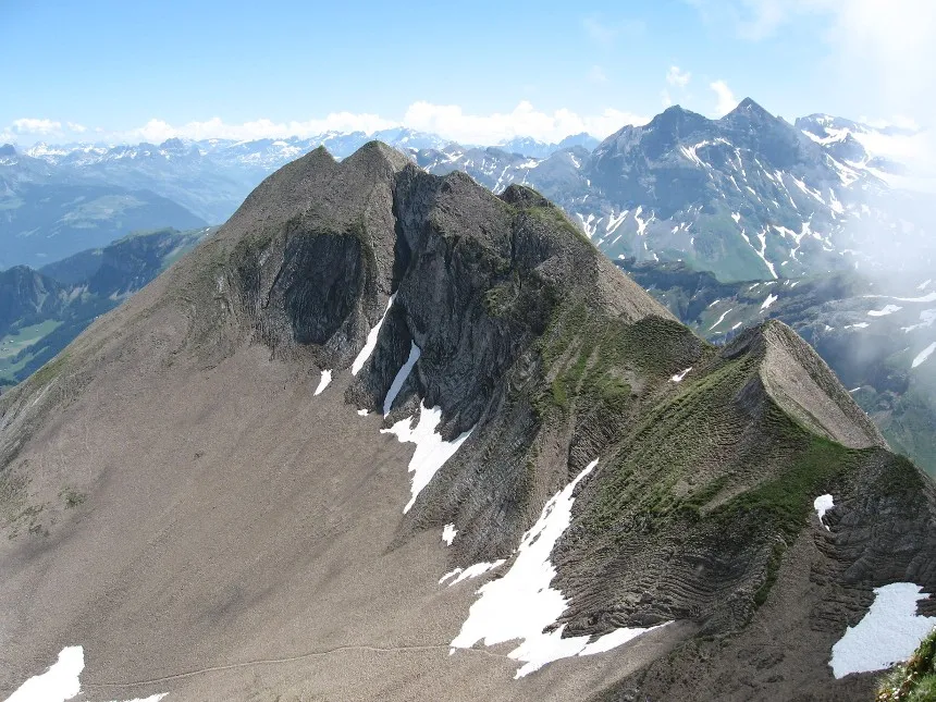 Hoh Brisen Mountain, Isenthal2.4 km W
-
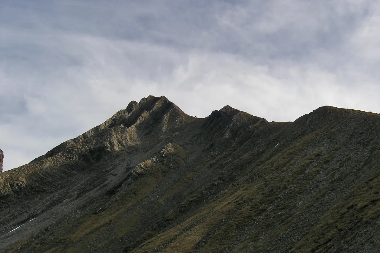 Brisen Mountain, Isenthal2.9 km W
-
Unter Bolgen Mountain, Isenthal1.9 km N
-
Ober Bolgen Mountain, Isenthal2.1 km N
-
Wild Alpeli Mountain, Isenthal2.7 km W
-
Spitzenstein Mountain, Isenthal1.4 km SE
Sources & licences
Data last updated: · 2 independent sources