- Elevation
- 2,296 m
- above sea level
- Local time
- UTC+01:00
- Europe/Zurich · UTC+01:00
- Airports
- ZRH Zürich Airport71 km
- BRN Bern Airport76 km
About Firnband
Firnband is a natural site. Location: Attinghausen, Uri. The nearest airport is Zürich Airport (71 km). Nearby sights include Stotzigberg and Chänglischberg.
Photos of Firnband
-
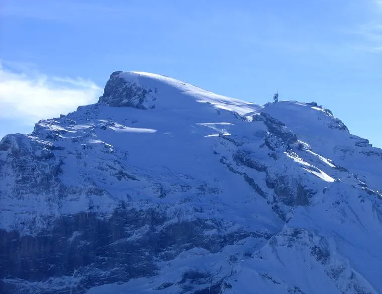
Titlis Mussklprozz · CC BY-SA 3.0 -
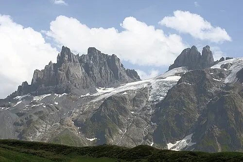
Gross Spannort Mussklprozz · CC BY-SA 3.0


Climate of Firnband
This month · November
A wet month
Day -1° · Night -6° · Rain 121 mm
- Hottest month
- August (day 11°)
- Coldest month
- February (night -10°)
- Wettest month
- July (144 mm)
- Driest month
- February (96 mm)
Bars: average monthly low and high temperature. Below: precipitation. Monthly averages for 1970–2000 at about 18 km resolution, adjusted for elevation. Highlighted months are mild and relatively dry. Source: WorldClim 2.1 (CC BY 4.0).
Show values as a table
| Month | Jan | Feb | Mar | Apr | May | Jun | Jul | Aug | Sep | Oct | Nov | Dec |
|---|---|---|---|---|---|---|---|---|---|---|---|---|
| Average high (°C) | -4° | -4° | -3° | -1° | 4° | 7° | 11° | 11° | 8° | 4° | -1° | -3° |
| Average low (°C) | -10° | -10° | -9° | -7° | -2° | 1° | 4° | 4° | 1° | -2° | -6° | -9° |
| Precipitation (mm) | 103 | 96 | 109 | 121 | 124 | 141 | 144 | 138 | 119 | 119 | 121 | 111 |
How to get to Firnband
The nearest airport is Zürich Airport (ZRH), 71 km to the north as the crow flies. The nearest large city is Zurich, 61 km to the north.
Airports
- Zürich Airport (ZRH) Zurich 71 kmnorth
- Bern Airport (BRN) Bern 76 kmwest
- Lugano Airport (LUG) Agno 97 kmsouth
Nearby large cities
- Zurich Population: 415.4K 61 kmnorth
- Winterthur Population: 111.8K 78 kmnorth
- Bern Population: 121.6K 81 kmwest
- Basel Population: 177.6K 107 kmnorthwest
- Mulhouse Population: 111.4K 136 kmnorthwest
Straight-line distances; road distances are longer. Airport data: OurAirports.
Day trips from Firnband
Within 100 km: 304 historic and cultural sites, 6,657 natural sites, 986 lakes, rivers and coasts.
0–25 km1,117 places
- Insel Schwanau Island 25 kmN
- Neptun-Inseln Island 12 kmNE
- Lorelei-Inseln Island 12 kmNE
- Lake Lucerne Lake 23 kmN
25–60 km2,876 places
- Strandbad Neuhaus Beach 54 kmW
- Strandbad Manor Farm Beach 54 kmW
- Strandbad Leissigen Beach 58 kmW
- Strandbad Iseltwald Beach 41 kmW
60–100 km3,954 places
- Kleiner Bremgartenwald Mountain 82 kmW
- Fahr Abbey Attraction 65 kmN
- Isole di Brissago Island 79 kmS
- Sant' Apollinare Island 79 kmS
Straight-line distances.
Nearest towns and villages
Nearby attractions & nature
Everything nearby-
Stotzigberg Mountain, Engelberg0.6 km SW
-
Chänglischberg Mountain, Engelberg0.7 km NW
-
Scharlisegg Mountain, Attinghausen0.7 km SE
-
Grüen Biel Mountain, Attinghausen1 km NE
-
Wissberg Mountain, Engelberg1.2 km SW
-
Fulenwassergrat Mountain, Engelberg1.2 km NW
-
Leist Mountain, Attinghausen1.8 km N
-
Rot Schutz Mountain, Attinghausen2 km NE
Sources & licences
Data last updated: