- Elevation
- 3,167 m
- above sea level
- Local time
- UTC+01:00
- Europe/Zurich · UTC+01:00
- Airports
- BGY Il Caravaggio International Airport77 km
- LUG Lugano Airport77 km
About Piz Güz
Piz Güz is a mountain. Location: Bregaglia, Region Maloja. Elevation: 3,167 m. The nearest airport is Il Caravaggio International Airport (77 km). Nearby sights include Vadret dal Güz and Piz Led.
Photos of Piz Güz
-
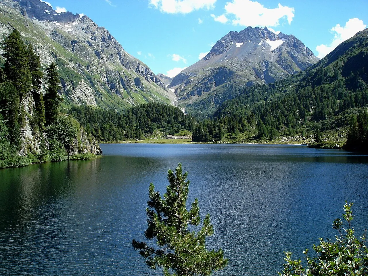
Monte del Forno Earth explorer · Public domain -
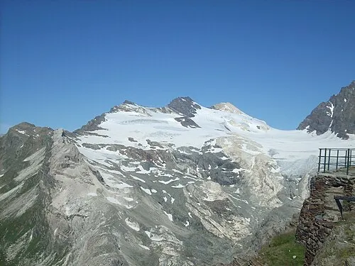
Sassa d'Èntova Gaggi Luca 76 · CC BY 3.0 -
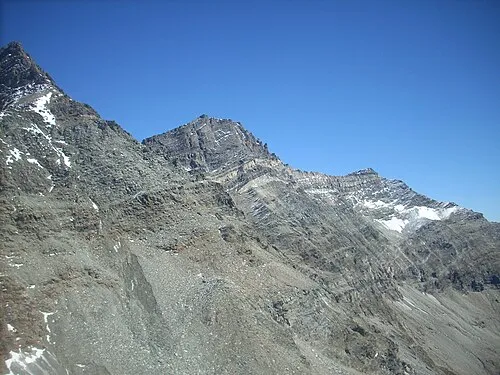
Pizzo Malenco Gaggi Luca 76 · CC BY 3.0 -
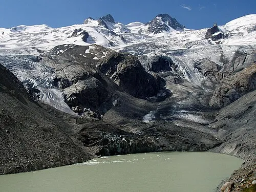
La Sella Günter Seggebäing · CC BY-SA 3.0 -
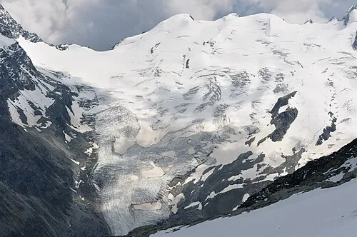
Dschimels Hansueli Krapf This file was uploaded with Commonist · CC BY-SA 3.0


Climate of Piz Güz
This month · November
A cold month
Day -6° · Night -13° · Rain 80 mm
- Hottest month
- August (day 7°)
- Coldest month
- February (night -18°)
- Wettest month
- August (110 mm)
- Driest month
- February (53 mm)
Bars: average monthly low and high temperature. Below: precipitation. Monthly averages for 1970–2000 at about 18 km resolution, adjusted for elevation. Highlighted months are mild and relatively dry. Source: WorldClim 2.1 (CC BY 4.0).
Show values as a table
| Month | Jan | Feb | Mar | Apr | May | Jun | Jul | Aug | Sep | Oct | Nov | Dec |
|---|---|---|---|---|---|---|---|---|---|---|---|---|
| Average high (°C) | -10° | -9° | -7° | -5° | 0° | 4° | 7° | 7° | 4° | 0° | -6° | -8° |
| Average low (°C) | -17° | -18° | -15° | -12° | -7° | -5° | -2° | -2° | -5° | -8° | -13° | -16° |
| Precipitation (mm) | 69 | 53 | 71 | 80 | 88 | 105 | 108 | 110 | 99 | 91 | 80 | 69 |
How to get to Piz Güz
The nearest airport is Il Caravaggio International Airport (BGY), 77 km to the south as the crow flies. The nearest large city is Zurich, 146 km to the northwest.
Airports
- Il Caravaggio International Airport (BGY) Orio al Serio (BG) 77 kmsouth
- Lugano Airport (LUG) Agno 77 kmsouthwest
- Milano Linate Airport (LIN) Segrate (MI) 108 kmsouth
Nearby large cities
- Zurich Population: 415.4K 146 kmnorthwest
- Winterthur Population: 111.8K 151 kmnorthwest
- Innsbruck Population: 132.5K 160 kmnortheast
- Bern Population: 121.6K 190 kmwest
- Basel Population: 177.6K 214 kmnorthwest
Straight-line distances; road distances are longer. Airport data: OurAirports.
Day trips from Piz Güz
Within 100 km: 100 historic and cultural sites, 5,516 natural sites, 619 lakes, rivers and coasts.
0–25 km670 places
- Chaviolas Island 8 kmN
- Lajets Lake 21 kmNW
- Silvaplanersee Lake 11 kmN
- Lake Sils Lake 8 kmNW
25–60 km1,619 places
- Lago di Poschiavo Lake 26 kmE
- Lake Davos Lake 52 kmN
- Gotschnaseeli Lake 56 kmN
- Laghetto della Val Malvaglia Lake 58 kmW
60–100 km3,946 places
- Spadalone Mountain 77 kmE
- Lago Nero Lake 95 kmW
- Isole di Brissago Island 84 kmW
- Sant' Apollinare Island 84 kmW
Straight-line distances.
Nearest towns and villages
-
Sils im Engadin/Segl Municipality, Region Maloja6.6 km N
-
Chiareggio Village, Chiesa in Valmalenco4.6 km S
-
Pian del Lupo Village, Chiesa in Valmalenco4.7 km S
-
Sils-Segl Maria Village, Sils im Engadin/Segl8.1 km N
-
Isola Village, Bregaglia6.8 km NW
-
 Maloja Village, Bregaglia8 km NW
Nearby attractions & nature
Everything nearby-
Vadret dal Güz Natural site, Sils im Engadin/Segl0.4 km SE
-
Piz Led Mountain, Sils im Engadin/Segl0.5 km N
-
Vadrec da Fedoz Natural site, Bregaglia1.5 km S
-
Piz Salatschina Mountain, Bregaglia1.7 km N
-
Piz Fora Mountain, Bregaglia1.9 km SE
-
Monte dell'Oro Mountain, Bregaglia2.1 km SW
-
Vadrer da Fex Natural site, Sils im Engadin/Segl2.2 km SE
-
Pizzo del Muretto Mountain, Bregaglia2.4 km W
Sources & licences
Data last updated: