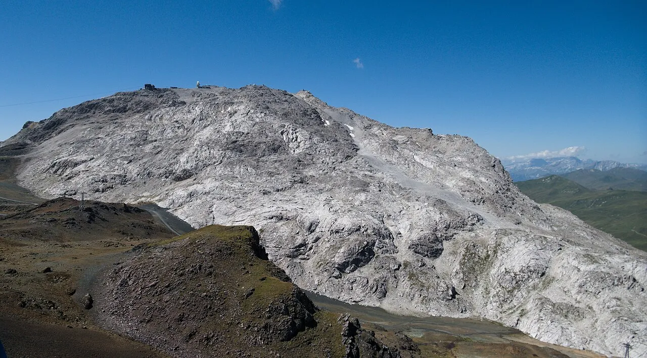
Weissfluh
Located in Arosa, Region Plessur Coordinates: 46°50′07″ N 9°47′39″ E
- Elevation
- 2,843 m
- above sea level
- Local time
- UTC+01:00
- Europe/Zurich · UTC+01:00
About Weissfluh
Weissfluh is a mountain. Location: Arosa, Region Plessur. Elevation: 2,843 m.
The Weissfluh is a mountain of the Plessur Alps, located above Davos in the canton of Graubünden. It is part of a ski area and the summit is served by a cable car from the Weissfluhjoch.
Read more on Wikipedia Text: Wikipedia contributors · CC BY-SA 4.0 · shortened
At a glance
- Topographic prominence
- 493 m
Source: Wikidata
In comparison
- No. 1905 of 7660 mountains in Switzerland by elevation
- 103 sights and natural places within 10 km Weissfluh Nordgipfel, Weissfluhjoch
Nearest towns and villages
-
Davos Municipality, Region Prättigau / Davos4.7 km SE
-
Davos Town, Davos4.8 km SE
-
Wolfgang Village, Davos4.5 km E
-
Strassberg Village, Arosa3.5 km W
-
Conters im Prättigau Municipality, Region Prättigau / Davos5.6 km N
-
Dörfli Village, Arosa3.7 km SW
Nearby attractions & nature
Everything nearby-
Weissfluh Nordgipfel Mountain, Arosa0.3 km N
-
Weissfluhjoch Mountain, Klosters0.9 km E
-
Zenjiflue Mountain, Arosa1.1 km W
-
Haupter Horn Mountain, Arosa1.3 km S
-
Schafläger Mountain, Arosa1.5 km SE
-
Schafturm Mountain, Arosa1.5 km N
-
Schwarzhorn Mountain, Klosters1.6 km NE
-
Parsenn Schwarzhorn Mountain, Klosters1.6 km NE
Sources & licences
Data last updated: · 2 independent sources