Ochsenberg
Located in Chur, Region Plessur Coordinates: 46°51′01″ N 9°33′36″ E
- Elevation
- 1,616 m
- above sea level
- Local time
- UTC+01:00
- Europe/Zurich · UTC+01:00
About Ochsenberg
Ochsenberg is a mountain. Location: Chur, Region Plessur. Elevation: 1,616 m.
In comparison
- No. 6619 of 7660 mountains in Switzerland by elevation
- 107 sights and natural places within 10 km Fürhörnli, Rote Platte
Nearest towns and villages
-
Maladers Village, Chur1.6 km S
-
Chur City, Chur2.1 km W
-
Praden Village, Chur3.3 km SE
-
Haldenstein Village, Chur4.1 km NW
-
Castiel Village, Arosa3.5 km E
-
Roman Catholic Diocese of Chur Village, Chur1.9 km W
Nearby attractions & nature
Everything nearby-
Fürhörnli Mountain, Chur1.3 km NE
-
Rote Platte Mountain, Chur1.7 km N
-
Rot Platte Mountain, Chur1.7 km N
-
Hochgang Mountain, Trimmis2.5 km NE
-
Montalin Mountain, Arosa2.8 km NE
-
Gromser Chopf Mountain, Arosa3.8 km NE
-
Martinskirche Attraction, Chur2.1 km W
-
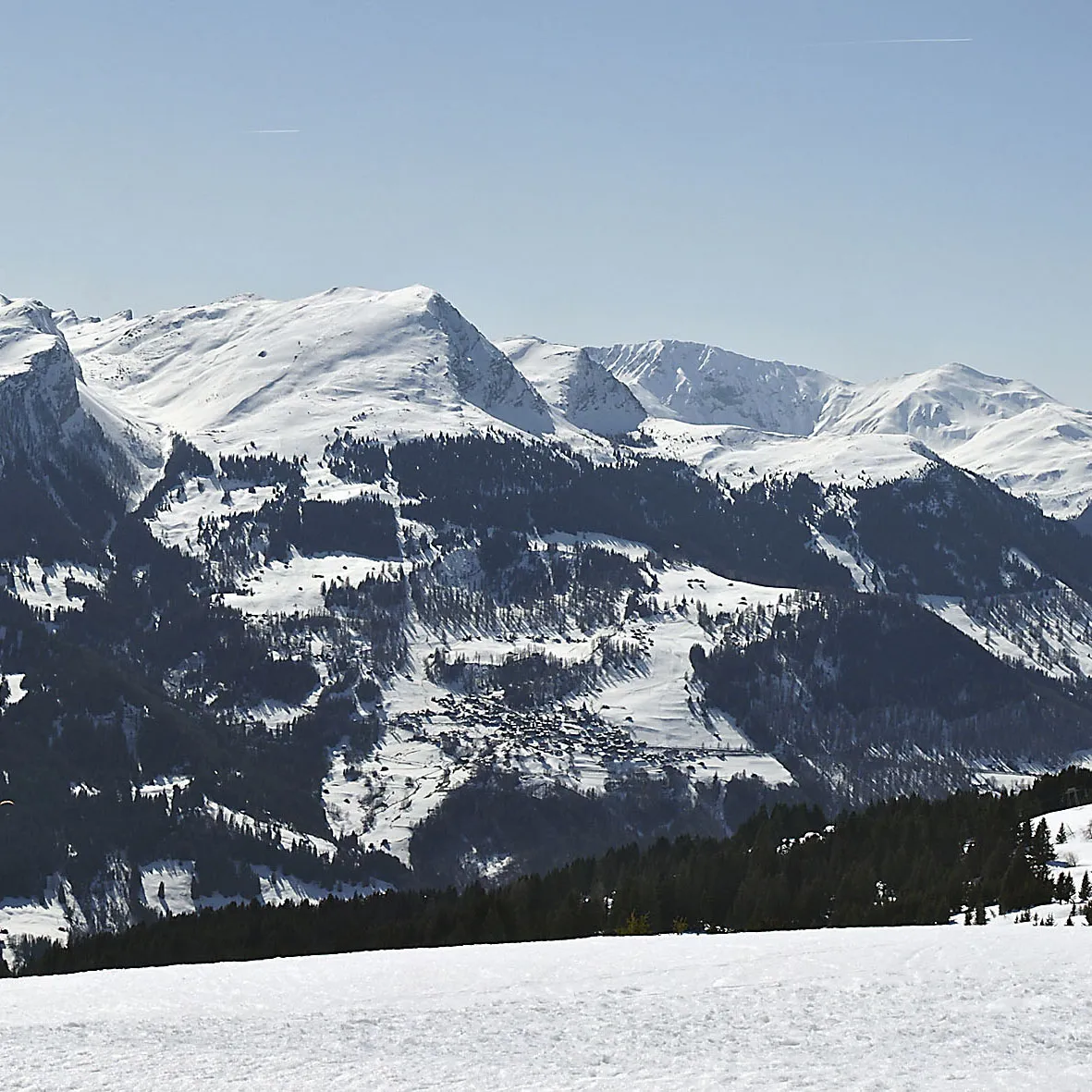 Gürgaletsch Mountain, Chur6.1 km S
Sources & licences
Data last updated: