Torwache
Located in Klosters, Region Prättigau / Davos Coordinates: 46°50′09″ N 10°04′35″ E
- Elevation
- 3,184 m
- above sea level
- Local time
- UTC+01:00
- Europe/Zurich · UTC+01:00
- Airports
- ACH Sankt Gallen Altenrhein Airport82 km
- FDH Bodensee Airport Friedrichshafen102 km
About Torwache
Torwache is a mountain. Location: Klosters, Region Prättigau / Davos. Elevation: 3,184 m. The nearest airport is Sankt Gallen Altenrhein Airport (82 km). Nearby sights include Verstanclahorn and Vadret da las Maisas.
Photos of Torwache
-
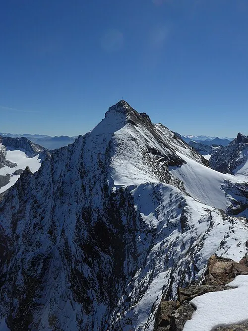
Silvrettahorn Cactus26 · CC BY-SA 3.0 -
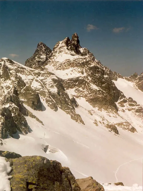
Great Litzner Crampon · CC BY-SA 3.0 -
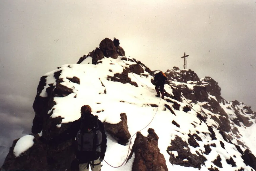
Dreiländerspitze The original uploader was Ringomassa at English Wikipedia · CC BY-SA 3.0 -
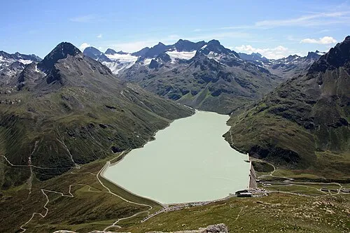
Ochsental Vince51 · CC BY 3.0


Climate of Torwache
This month · November
A cold month
Day -7° · Night -13° · Rain 96 mm
- Hottest month
- July (day 6°)
- Coldest month
- February (night -18°)
- Wettest month
- July (142 mm)
- Driest month
- February (78 mm)
Bars: average monthly low and high temperature. Below: precipitation. Monthly averages for 1970–2000 at about 18 km resolution, adjusted for elevation. Highlighted months are mild and relatively dry. Source: WorldClim 2.1 (CC BY 4.0).
Show values as a table
| Month | Jan | Feb | Mar | Apr | May | Jun | Jul | Aug | Sep | Oct | Nov | Dec |
|---|---|---|---|---|---|---|---|---|---|---|---|---|
| Average high (°C) | -10° | -10° | -8° | -6° | -1° | 3° | 6° | 6° | 3° | -1° | -7° | -9° |
| Average low (°C) | -18° | -18° | -15° | -12° | -8° | -5° | -3° | -2° | -5° | -8° | -13° | -16° |
| Precipitation (mm) | 89 | 78 | 89 | 90 | 98 | 130 | 142 | 133 | 105 | 88 | 96 | 94 |
How to get to Torwache
The nearest airport is Sankt Gallen Altenrhein Airport (ACH), 82 km to the northwest as the crow flies. For international flights: Bodensee Airport Friedrichshafen (FDH) (102 km). The nearest large city is Innsbruck, 111 km to the northeast.
Airports
- Sankt Gallen Altenrhein Airport (ACH) St. Gallen 82 kmnorthwest
- Bodensee Airport Friedrichshafen (FDH) Friedrichshafen 102 kmnorthwest
- Bolzano Airport (BZO) Bolzano (BZ) 104 kmsoutheast
Nearby large cities
- Innsbruck Population: 132.5K 111 kmnortheast
- Winterthur Population: 111.8K 127 kmnorthwest
- Zurich Population: 415.4K 130 kmnorthwest
- Ulm Population: 120.5K 174 kmnorth
- Augsburg Population: 301.1K 182 kmnorth
Straight-line distances; road distances are longer. Airport data: OurAirports.
Day trips from Torwache
Within 100 km: 205 historic and cultural sites, 6,265 natural sites, 950 lakes, rivers and coasts.
0–25 km766 places
- Lake Davos Lake 17 kmW
- Gotschnaseeli Lake 18 kmW
- Lai Sura Lake 13 kmS
- Furggasee Lake 17 kmSW
25–60 km2,659 places
- Chaviolas Island 53 kmSW
- Lajets Lake 53 kmSW
- Silvaplanersee Lake 48 kmSW
- Lake Sils Lake 53 kmSW
60–100 km3,995 places
- Spadalone Mountain 92 kmSE
- Walensee Lake 74 kmNW
- Wägitalersee Lake 92 kmW
- Lago di Poschiavo Lake 61 kmS
Straight-line distances.
Nearest towns and villages
Nearby attractions & nature
Everything nearby-
Verstanclahorn Mountain, Klosters0.3 km W
-
Vadret da las Maisas Natural site, Zernez0.6 km S
-
Verstanclagletscher Natural site, Klosters0.7 km NW
-
Chapütschin Mountain, Klosters0.8 km SW
-
Chammgletscher Natural site, Klosters0.8 km NE
-
Parait Alba Mountain, Zernez1 km E
-
Vernelagletscher Natural site, Klosters1 km W
-
Chremerchöpf Mountain, Klosters1.3 km N
More nature in Switzerland
-
Great Litzner Mountain, Klosters6.3 km NW
-
Verstanclachöpf Mountain, Klosters1.6 km W
-
Egghorn Mountain, Klosters2.1 km NE
-
Signalhorn Mountain, Klosters2.1 km NE
-
Silvrettagletscher Natural site, Klosters1.9 km N
-
Bürgenchopf Mountain, Klosters2.5 km W
Sources & licences
Data last updated: