Piz Gannaretsch
Located in Medel (Lucmagn), Region Surselva Coordinates: 46°36′43″ N 8°47′11″ E
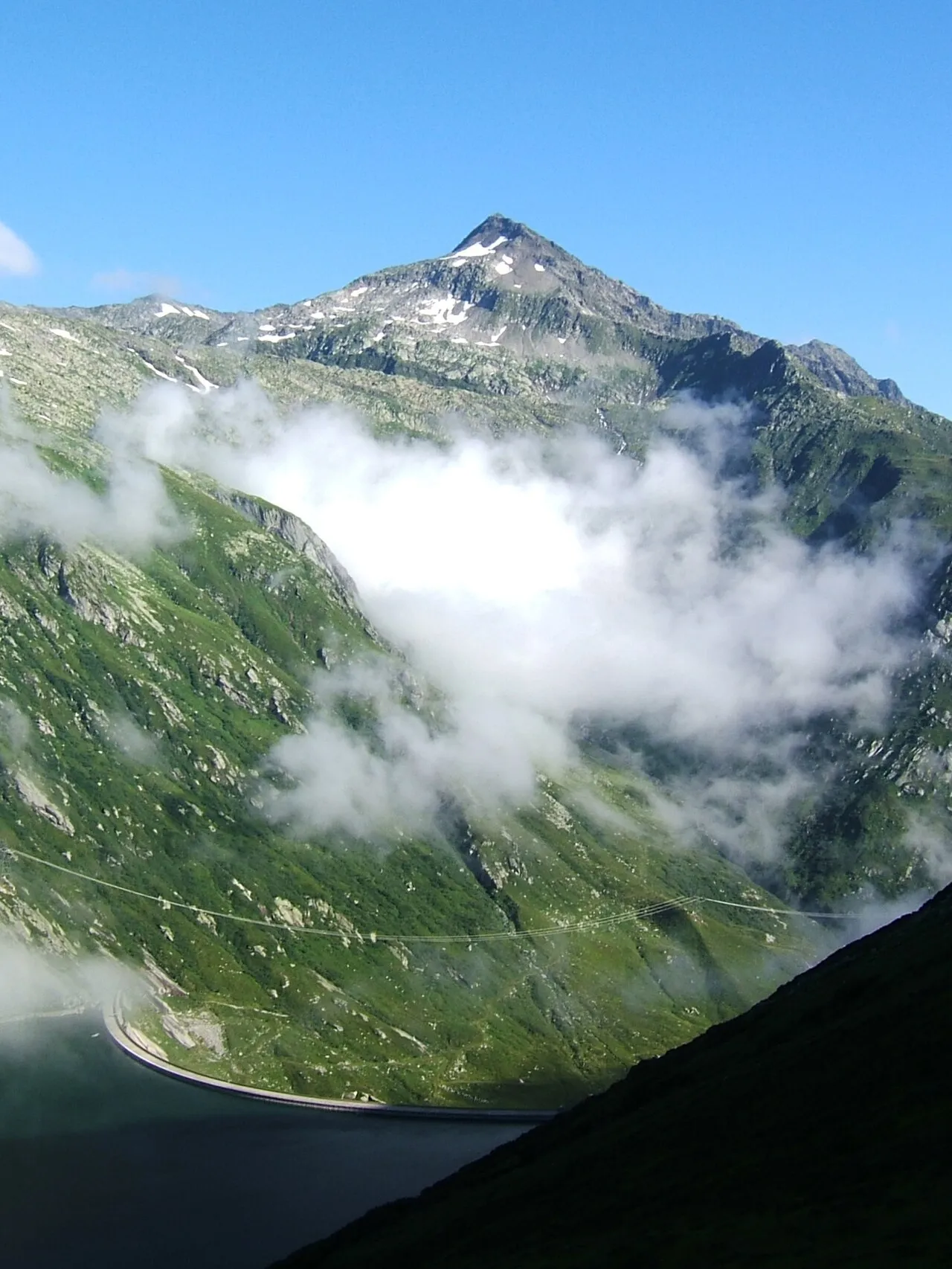
- Elevation
- 3,040 m
- above sea level
- Local time
- UTC+01:00
- Europe/Zurich · UTC+01:00
- Airports
- LUG Lugano Airport68 km
- ZRH Zürich Airport96 km
About Piz Gannaretsch
Piz Gannaretsch is a mountain. Location: Medel (Lucmagn), Region Surselva. Elevation: 3,040 m.
Piz Gannaretsch is a mountain in the Lepontine Alps, overlooking Sedrun in Graubünden. At 3,040 metres above sea level, its summit is the highest point of the range lying between St Gotthard Pass and Lukmanier Pass. The massif of Piz Gannaretsch separates the valleys of Lake Nalps (west) and Lake Sontga Maria (east). A glacier named Glatscher da Gannaretsch lies over the north-western flanks of Piz Gannaretsch.
Source: Wikipedia · CC BY-SA 4.0
At a glance
- Topographic prominence
- 934 m
Source: Wikidata
Photos of Piz Gannaretsch
-

WStee · CC BY-SA 4.0 -

Albinfo · CC0 -

Whgler · CC BY-SA 4.0 -

Albinfo · CC BY-SA 4.0 -
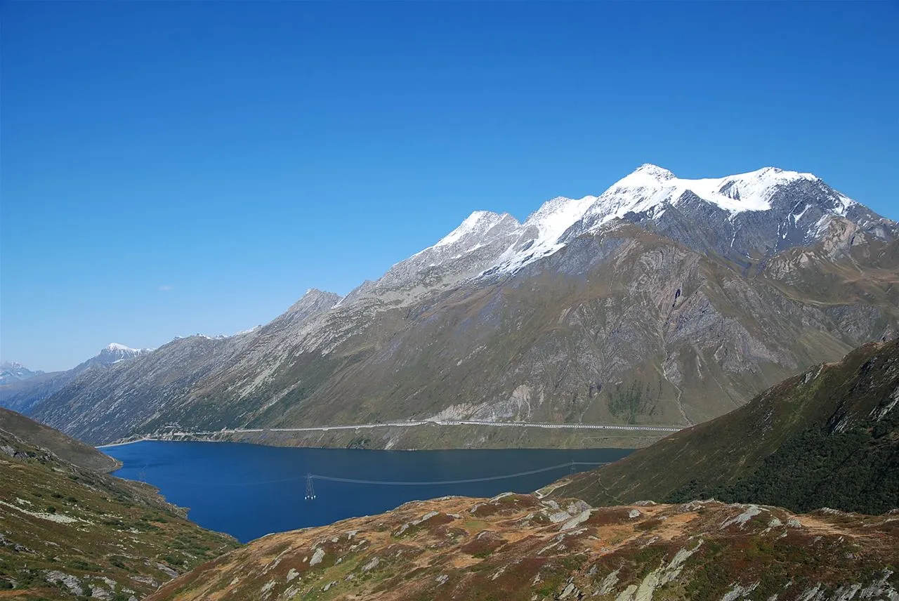
Scopi vasile23 on Flickr · CC BY 2.0


Climate of Piz Gannaretsch
This month · November
A wet month
Day -5° · Night -11° · Rain 123 mm
- Hottest month
- August (day 7°)
- Coldest month
- February (night -15°)
- Wettest month
- July (151 mm)
- Driest month
- February (87 mm)
Bars: average monthly low and high temperature. Below: precipitation. Monthly averages for 1970–2000 at about 18 km resolution, adjusted for elevation. Highlighted months are mild and relatively dry. Source: WorldClim 2.1 (CC BY 4.0).
Show values as a table
| Month | Jan | Feb | Mar | Apr | May | Jun | Jul | Aug | Sep | Oct | Nov | Dec |
|---|---|---|---|---|---|---|---|---|---|---|---|---|
| Average high (°C) | -9° | -9° | -7° | -6° | -1° | 3° | 6° | 7° | 4° | 0° | -5° | -7° |
| Average low (°C) | -14° | -15° | -13° | -11° | -7° | -4° | -1° | -1° | -4° | -7° | -11° | -13° |
| Precipitation (mm) | 102 | 87 | 109 | 134 | 138 | 148 | 151 | 149 | 140 | 137 | 123 | 105 |
How to get to Piz Gannaretsch
The nearest airport is Lugano Airport (LUG), 68 km to the south as the crow flies. For international flights: Zürich Airport (ZRH) (96 km). The nearest large city is Zurich, 86 km to the north.
Airports
- Lugano Airport (LUG) Agno 68 kmsouth
- Zürich Airport (ZRH) Zurich 96 kmnorth
- Bern Airport (BRN) Bern 104 kmwest
Nearby large cities
- Zurich Population: 415.4K 86 kmnorth
- Winterthur Population: 111.8K 99 kmnorth
- Bern Population: 121.6K 109 kmwest
- Basel Population: 177.6K 140 kmnorthwest
- Lausanne Population: 139.1K 165 kmwest
Straight-line distances; road distances are longer. Airport data: OurAirports.
Day trips from Piz Gannaretsch
Within 100 km: 209 historic and cultural sites, 7,213 natural sites, 962 lakes, rivers and coasts.
0–25 km948 places
- Lago Tremorgio Lake 16 kmS
- Lago del Sambuco Lake 20 kmSW
- Lago Ritom Lake 11 kmSW
- Oberalpsee Lake 11 kmNW
25–60 km3,416 places
- Strandbad Brienz Beach 59 kmW
- Lago Nero Lake 26 kmSW
- Isole di Brissago Island 53 kmS
- Sant' Apollinare Island 53 kmS
60–100 km4,020 places
- Fahr Abbey Attraction 92 kmN
- Strandbad Neuhaus Beach 75 kmW
- Strandbad Manor Farm Beach 75 kmW
- Strandbad Leissigen Beach 78 kmW
Straight-line distances.
Nearest towns and villages
Nearby attractions & nature
Everything nearby-
Glatscher da Gannaretsch Natural site, Tujetsch0.6 km NW
-
Piz Davos Glatschers Mountain, Medel (Lucmagn)0.7 km N
-
Piz Gierm Mountain, Tujetsch1 km N
-
Lai Verd Lake, Medel (Lucmagn)0.9 km SW
-
Piz Vatgira Mountain, Tujetsch1.4 km SW
-
Tgiern Sogn Gions Mountain, Medel (Lucmagn)1.4 km NE
-
Glatscher da Puozas Natural site, Medel (Lucmagn)1.5 km N
-
Glatscher dil Lai Blau Natural site, Medel (Lucmagn)1.7 km SW
More nature in Switzerland
-
Scopi Mountain, Medel (Lucmagn)5.6 km SE
-
Ils Cotschens Mountain, Medel (Lucmagn)2.1 km N
-
Piz Val Aulta Mountain, Medel (Lucmagn)2.6 km NE
-
Fil da Garviel Mountain, Medel (Lucmagn)3 km SE
-
Piz Curvet Mountain, Medel (Lucmagn)3.7 km E
-
Piz Muschaneras Mountain, Medel (Lucmagn)3.7 km NE
Sources & licences
Data last updated: · 2 independent sources