Val Russein
Located in Grisons, Switzerland Coordinates: 46°45′05″ N 8°53′03″ E
- Elevation
- 1,891 m
- above sea level
- Local time
- UTC+01:00
- Europe/Zurich · UTC+01:00
About Val Russein
Val Russein is a natural site. Location: Grisons, Switzerland.
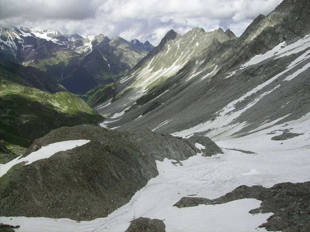
The Val Russein is a valley of the Swiss Alps, located south of the Tödi Group in Graubünden. The valley is drained by the Aua da Russein, a tributary of the Vorderrhein, near Cumpadials (962 m). The Val Russein belongs to the municipalities of Disentis and Sumvitg. Three valleys converge at Alp Cavrein (1,575 m) to form the main Val Russein: Val Cavadiras, Val Gronda da Cavrein and Val Gronda da Russein. The entire valley is approximately 10 kilometres long.
Read more on Wikipedia Text: Wikipedia contributors · CC BY-SA 4.0 · shortened
In comparison
- 140 sights and natural places within 10 km Piz Alpetta, Piz Schigels
Nearest towns and villages
-
Disentis/Mustér Municipality, Region Surselva4.9 km S
-
Sumvitg Municipality, Region Surselva6.5 km SE
-
Disentis Village, Disentis/Mustér5.9 km SW
-
Surrein Village, Sumvitg5.9 km SE
-
Trun Municipality, Region Surselva7.6 km E
-
Cavardiras Village, Disentis/Mustér4.5 km S
Nearby attractions & nature
Everything nearby-
Piz Alpetta Mountain, Disentis/Mustér1.1 km SW
-
Piz Schigels Mountain, Sumvitg2.2 km E
-
Val Lumpegna Natural site, Grisons2.7 km S
-
Piz Avat Mountain, Sumvitg2.5 km NE
-
Muotta da Crap Ner Mountain, Sumvitg2.5 km SE
-
Piz Lumpegna Mountain, Disentis/Mustér2.6 km W
-
Piz Glivers Dadens Mountain, Sumvitg2.9 km NE
-
Piz Brit Mountain, Disentis/Mustér2.9 km W
Sources & licences
Data last updated: · 2 independent sources