Steckborn
Located in Frauenfeld District, Thurgau Coordinates: 47°39′30″ N 8°59′26″ E
- Population
- 3,746
- 3.7K
- Elevation
- 489 m
- above sea level
- Local time
- UTC+01:00
- Europe/Zurich · UTC+01:00
- Places inside
- 15
- listed under Steckborn
About Steckborn
Steckborn is a municipality. Location: Frauenfeld District, Thurgau. Population: 3,746. Elevation: 489 m.
In comparison
- No. 4 of 23 places in Frauenfeld District by population
- Nearest larger town: Reichenau, 6 km NE
- 33 sights and natural places within 10 km Kloster Feldbach, Strandbad Steckborn
- Listed here: Village: 14, Attraction: 1
Places in Steckborn
15 places-
Steckborn Village3.2K
-
Dietenhausen Village
-
Feldbach Village
-
Glarisegg Village
-
Heretswilen Village
-
Höfli Village
-
Hohenrain Village
-
Im Ländli Village
-
Jochental Village
-
Kapf Village
-
Kloster Feldbach Attraction
-
Letten Village
-
Nööchsthorn Village
-
Salen Village
-
Tal Village
Nearby attractions & nature
Everything nearby-
Strandbad Steckborn Beach, Thurgau1.5 km W
-
Schloss Gaienhofen Historic site, Gaienhofen2.5 km N
-
Schloss Klingenberg Historic site, Homburg4 km S
-
Schloss Gündelhart Historic site, Homburg4.1 km SW
-
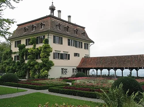 Schloss Wolfsberg Historic site, Ermatingen6.6 km E
-
Anderbach Lake, Homburg3.9 km SE
-
Ehemaliges Kloster Grünenberg Attraction, Moos5.1 km NW
-
Friedrichshöhe Mountain, Baden-Wurttemberg6.4 km NE
Sources & licences
Data last updated: