Nesthorn
Located in Naters, Brig District Coordinates: 46°24′47″ N 7°55′34″ E
- Elevation
- 3,820 m
- above sea level
- Local time
- UTC+01:00
- Europe/Zurich · UTC+01:00
About Nesthorn
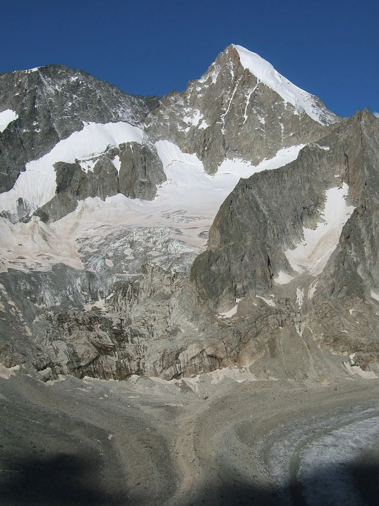
Nesthorn is a mountain. Location: Naters, Brig District. Elevation: 3,820 m.
The Nesthorn is a mountain in the Bernese Alps. It is located in the Swiss canton of Valais north of Brig. The mountain lies between the Oberaletsch Glacier on the north and east side and the Gredetschtal on the south side. It is part of the subrange of the Bernese Alps that culminates at the Aletschhorn. The Nesthorn was first ascended from Belalp in 1865 by B. George and H. Mortimer, with Christian Almer and his son.
Read more on Wikipedia Text: Wikipedia contributors · CC BY-SA 4.0 · shortened
At a glance
- Topographic prominence
- 658 m
Source: Wikidata
In comparison
- No. 96 of 7660 mountains in Switzerland by elevation
- 158 sights and natural places within 10 km Gredetschgletscher, Gredetschgletscher
Nearest towns and villages
Nearby attractions & nature
Everything nearby-
Gredetschgletscher Natural site, Naters0.7 km SW
-
Gredetschgletscher Natural site, Naters1.1 km S
-
Unterbächhorn Mountain, Naters1.3 km SE
-
Gredetschhorli Mountain, Baltschieder1.3 km W
-
Gries Stockji Mountain, Naters1.5 km S
-
Unnerbächgletscher Natural site, Naters1.9 km SE
-
Lonzahörner Mountain, Naters2.1 km NW
-
Gänderhorn Mountain, Naters2.1 km SE
More nature in Switzerland
-
 Geisshorn Mountain, Naters6.9 km NE
-
Beichgletscher Natural site, Naters2 km NE
-
Unterer Torberg Mountain, Naters2.9 km NE
-
Herdhorn Mountain, Naters3 km SW
-
Hohstock Mountain, Naters3 km E
-
Grisighorn Mountain, Naters3 km S
Sources & licences
Data last updated: · 2 independent sources