Entremont District
Located in Valais, Switzerland Coordinates: 46°01′16″ N 7°12′45″ E
- Population
- 15,519
- 15.5K
- Elevation
- 2,229 m
- above sea level
- Local time
- UTC+01:00
- Europe/Zurich · UTC+01:00
- Places inside
- 6
- listed under Entremont District
About Entremont District
Entremont District is a district. Location: Valais, Switzerland. Population: 15,519.
The district of Entremont is a district in the canton of Valais in Switzerland. It has a population of 15,519 (as of 31 December 2020).
Read more on Wikipedia Text: Wikipedia contributors · CC BY-SA 4.0 · shortened
At a glance
- Area
- 633 km²
Source: Wikidata
In comparison
- 105 sights and natural places within 10 km Mont Brûlé, Chalet d'Arpalle
- Listed here: Municipality: 5, Natural site: 1
Places in Entremont District
6 places-
Val de Bagnes Municipality10.2K
-
Orsières Municipality3.2K
-
Sembrancher Municipality1K
-
Liddes Municipality711
-
Bourg-Saint-Pierre Municipality200
-
Giétroz Glacier Natural site
Nature and heritage in Entremont District
-
Mont Rogneux Mountain, Liddes
-
Combin de Corbassière Mountain, Val de Bagnes
-
La Ruinette Mountain, Val de Bagnes
-
Six Blanc Mountain, Orsières
-
Le Tour Noir Mountain, Orsières
-
Grande Fourche Mountain, Orsières
Nearby attractions & nature
Everything nearby-
Val d'Entremont Natural site, Valais3.8 km SW
-
Dranse de Ferret River, Valais5 km W
-
Dranse d'Entremont River, Valais7.6 km NW
-
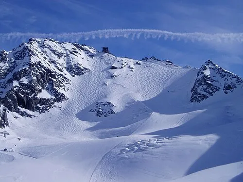 Mont Fort Mountain, Nendaz11 km NE
-
Dranse de Bagnes River, Valais8.5 km NW
-
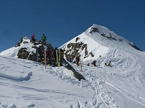 Rosablanche Mountain, Hérémence12 km E
Sources & licences
Data last updated: · 2 independent sources