Mont-Noble
Located in Hérens District, Valais Coordinates: 46°12′16″ N 7°28′01″ E
- Population
- 1,110
- 1.1K
- Elevation
- 2,134 m
- above sea level
- Local time
- UTC+01:00
- Europe/Zurich · UTC+01:00
- Places inside
- 14
- listed under Mont-Noble
About Mont-Noble
Mont-Noble is a municipality. Location: Hérens District, Valais. Population: 1,110. Elevation: 2,134 m.
In comparison
- No. 5 of 6 places in Hérens District by population
- Nearest larger town: Grône, 4 km NE
- 51 sights and natural places within 10 km Tête des Planards, Lac de Vernamiège
- Listed here: Mountain: 8, Lake: 3, Village: 3
Airports nearest to Mont-Noble
- Bern Airport (BRN) Bern 79 km
- Geneva International Airport (GVA) Geneva 105 km
- Annecy Meythet airport (NCY) Annecy 110 km
Straight-line distance; airports with scheduled flights only. Source: OurAirports (public domain).
Places in Mont-Noble
14 places-
Nax Village406
-
Mase Village216
-
Vernamiège Village150
-
Becca de Lovégno Mountain
-
Lac de Vernamiège Lake
-
Le Louché Lake
-
Mont Gautier Mountain
-
Mont Noble Mountain
-
Pointe de Masserey Mountain
-
Roc de la Tsa Mountain
-
Sex de la Brinta Mountain
-
Tête des Planards Mountain
-
Tour de Bonvin Mountain
Nearby attractions & nature
Everything nearby-
Plan Genevrec Mountain, Saint-Martin3.2 km S
-
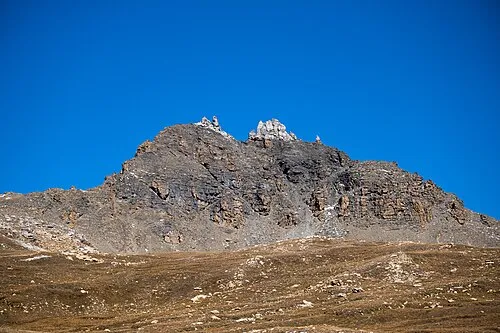 Becs de Bosson Mountain, Anniviers5.7 km SE
-
La Maya Mountain, Saint-Martin4.1 km SE
-
Val d'Hérens Natural site, Valais4.9 km SW
-
La Brinta Mountain, Chalais5.2 km E
-
Mont Major Mountain, Chalais5.5 km NE
-
Crêt du Midi Mountain, Chalais5.6 km NE
-
Roc d'Orzival Mountain, Anniviers5.6 km E
Sources & licences
Data last updated: