Punta Mottiscia
Located in Valais, Switzerland Coordinates: 46°18′08″ N 8°08′28″ E
- Elevation
- 3,157 m
- above sea level
- Local time
- UTC+01:00
- Europe/Zurich · UTC+01:00
About Punta Mottiscia
Punta Mottiscia is a mountain. Location: Valais, Switzerland. Elevation: 3,157 m.
In comparison
- No. 724 of 7660 mountains in Switzerland by elevation
- 116 sights and natural places within 10 km Hillehorn, Hillegletscher
Nearest towns and villages
-
Grengiols Municipality, Raron District4.2 km N
-
Ried-Brig Municipality, Brig District6.1 km W
-
Termen Municipality, Brig District6.7 km W
-
Mörel-Filet Municipality, Raron District8.2 km NW
-
Bister Municipality, Raron District7.1 km NW
-
Saflischmatten Village, Grengiols5.4 km N
Nearby attractions & nature
Everything nearby-
Hillehorn Mountain, Grengiols0.1 km NW
-
Hillegletscher Natural site, Grengiols0.3 km NE
-
Hillegrat Mountain, Grengiols0.8 km NE
-
Mättitalgletscher Natural site, Grengiols0.8 km N
-
Steinugletscher Natural site, Ried-Brig1.1 km W
-
Grossi Hilla Mountain, Grengiols1.3 km NE
-
Rothorn Mountain, Grengiols1.4 km NW
-
Punta del Rebbio Mountain, Valais1.5 km SW
More nature in Switzerland
-
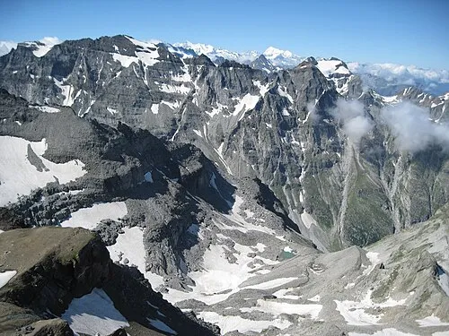 Helsenhorn Mountain, Grengiols3.9 km E
-
Pizzo Taramona Mountain, Valais1.6 km SW
-
Chleini Hilla Mountain, Grengiols1.7 km NE
-
Gibelhorn Mountain, Grengiols1.8 km N
-
Bortelgletscher Natural site, Ried-Brig1.8 km SW
-
Witentir Mountain, Grengiols2.4 km N
Sources & licences
Data last updated: