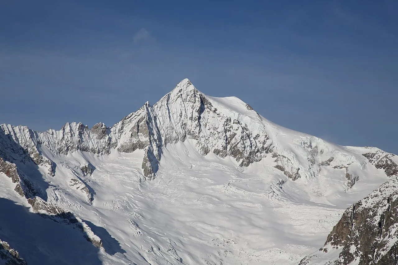
- Elevation
- 4,193 m
- above sea level
- Local time
- UTC+01:00
- Europe/Zurich · UTC+01:00
- Airports
- BRN Bern Airport63 km
- LUG Lugano Airport87 km
About Aletschhorn
Aletschhorn is a mountain. Location: Bettmeralp, Raron District. Elevation: 4,193 m.
The Aletschhorn (Swiss Standard German pronunciation: [ˈaːlɛtʃˌhɔrn]; 4,194 m (13,760 ft)) is a mountain in the Alps in Switzerland, lying within the Jungfrau-Aletsch region, which has been designated a World Heritage Site by UNESCO. The mountain shares part of its name with the Aletsch Glacier lying at its foot. The Aletschhorn, the second highest mountain of the Bernese Alps after the Finsteraarhorn, is the only one of the higher peaks that lies completely in Valais.
Source: Wikipedia · CC BY-SA 4.0
At a glance
- Topographic prominence
- 1,043 m
Source: Wikidata
Photos of Aletschhorn
-

SamuelFerrara · CC BY-SA 4.0 -

Andrew Bossi · CC BY-SA 2.5 -

Hp.Baumeler · CC BY-SA 4.0 -

Andrew Bossi · CC BY-SA 2.5 -

Paradise Chronicle · CC BY-SA 4.0


Climate of Aletschhorn
This month · November
A cold month
Day -12° · Night -17° · Rain 81 mm
- Hottest month
- August (day -1°)
- Coldest month
- February (night -21°)
- Wettest month
- November (81 mm)
- Driest month
- February (70 mm)
Bars: average monthly low and high temperature. Below: precipitation. Monthly averages for 1970–2000 at about 18 km resolution, adjusted for elevation. Highlighted months are mild and relatively dry. Source: WorldClim 2.1 (CC BY 4.0).
Show values as a table
| Month | Jan | Feb | Mar | Apr | May | Jun | Jul | Aug | Sep | Oct | Nov | Dec |
|---|---|---|---|---|---|---|---|---|---|---|---|---|
| Average high (°C) | -15° | -16° | -15° | -13° | -8° | -5° | -2° | -1° | -4° | -8° | -12° | -14° |
| Average low (°C) | -21° | -21° | -21° | -19° | -14° | -11° | -8° | -7° | -10° | -13° | -17° | -20° |
| Precipitation (mm) | 73 | 70 | 79 | 76 | 76 | 76 | 75 | 78 | 70 | 77 | 81 | 73 |
How to get to Aletschhorn
The nearest airport is Bern Airport (BRN), 63 km to the northwest as the crow flies. For international flights: Milan Malpensa International Airport (MXP) (109 km). The nearest large city is Bern, 68 km to the northwest.
Airports
- Bern Airport (BRN) Bern 63 kmnorthwest
- Lugano Airport (LUG) Agno 87 kmsoutheast
- Milan Malpensa International Airport (MXP) Ferno (VA) 109 kmsoutheast
Nearby large cities
- Bern Population: 121.6K 68 kmnorthwest
- Lausanne Population: 139.1K 105 kmwest
- Zurich Population: 415.4K 109 kmnortheast
- Basel Population: 177.6K 126 kmnorth
- Winterthur Population: 111.8K 128 kmnortheast
Straight-line distances; road distances are longer. Airport data: OurAirports.
Day trips from Aletschhorn
Within 100 km: 182 historic and cultural sites, 6,734 natural sites, 840 lakes, rivers and coasts.
0–25 km926 places
- Oeschinen Lake Lake 21 kmW
- Stausee Gibidum Lake 10 kmS
- Gaulisee Lake 23 kmNE
- Bachsee Lake 23 kmN
25–60 km3,188 places
- Strandbad Neuhaus Beach 27 kmNW
- Strandbad Manor Farm Beach 28 kmNW
- Strandbad Leissigen Beach 27 kmNW
- Strandbad Iseltwald Beach 28 kmN
60–100 km3,642 places
- Kleiner Bremgartenwald Mountain 71 kmNW
- Arbeiterstrandbad Tennwil Beach 95 kmN
- Sankt Petersinsel Island 94 kmNW
- Isole di Brissago Island 68 kmSE
Straight-line distances.
Nearest towns and villages
Nearby attractions & nature
Everything nearby-
Kleines Aletschhorn Mountain, Naters1.3 km W
-
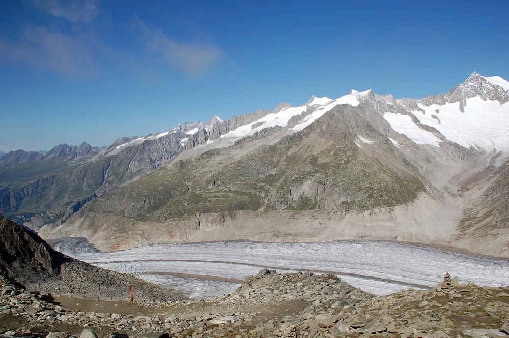 Geisshorn Mountain, Naters2.8 km S
-
Vorderes Geisshorn Mountain, Naters1.6 km S
-
Oberaletschgletscher Natural site, Naters1.8 km S
-
Mittelaletschgletscher Natural site, Naters1.9 km E
-
Sattelhorn Mountain, Naters2.3 km W
-
Oberaletschfirn Natural site, Naters2.2 km SW
-
Grosser Aletschfirn Natural site, Fieschertal2.2 km N
Sources & licences
Data last updated: · 2 independent sources