Steinchalchhorn
Located in Saas-Almagell, Visp District Coordinates: 45°59′46″ N 7°55′57″ E
- Elevation
- 3,345 m
- above sea level
- Local time
- UTC+01:00
- Europe/Zurich · UTC+01:00
About Steinchalchhorn
Steinchalchhorn is a mountain. Location: Saas-Almagell, Visp District. Elevation: 3,345 m.
In comparison
- No. 392 of 7660 mountains in Switzerland by elevation
- 99 sights and natural places within 10 km Roffelhörner, Cingino Rosso
Airports nearest to Steinchalchhorn
- Milan Malpensa International Airport (MXP) Ferno (VA) 74 km
- Lugano Airport (LUG) Agno 76 km
- Turin Airport (TRN) Caselle Torinese (TO) 91 km
Straight-line distance; airports with scheduled flights only. Source: OurAirports (public domain).
Nearest towns and villages
Nearby attractions & nature
Everything nearby-
Roffelhörner Mountain, Valais1 km W
-
Faderhorn Mountain, Macugnaga1.9 km SE
-
Cingino Rosso Mountain, Valais1.4 km E
-
Rothorn Mountain, Saas-Almagell1.4 km E
-
Schwarzberggletscher Natural site, Saas-Almagell1.5 km N
-
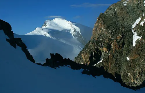 Strahlhorn Mountain, Visp3 km NW
-
Seewjinengletscher Natural site, Saas-Almagell1.6 km NE
-
Grüenberghorn Mountain, Saas-Almagell1.8 km NE
More nature in Switzerland
-
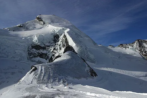 Allalinhorn Mountain, Saas-Almagell6.3 km NW
-
Schwarzberggletscher Natural site, Saas-Almagell2.4 km NW
-
Fluchthorn Mountain, Saas-Almagell3.2 km NW
-
Innere Turre Mountain, Saas-Almagell3.9 km N
-
Hangende Gletscher Natural site, Saas-Almagell3.6 km N
-
Galmenhorn Mountain, Saas-Almagell4.7 km NE
Sources & licences
Data last updated: