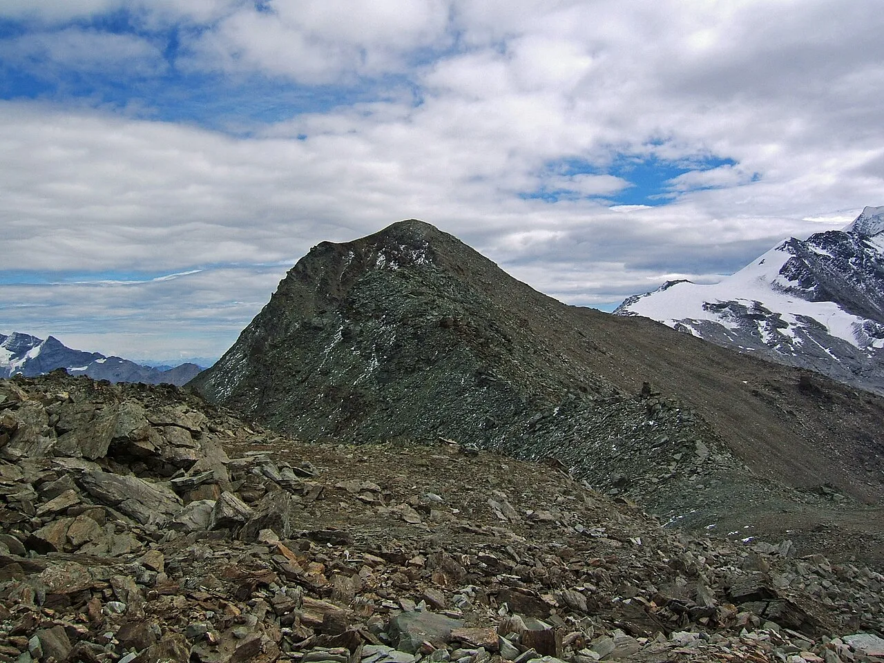
Mattwaldhorn
Located in Visperterminen, Visp District Coordinates: 46°11′56″ N 7°57′20″ E
- Elevation
- 3,245 m
- above sea level
- Local time
- UTC+01:00
- Europe/Zurich · UTC+01:00
About Mattwaldhorn
Mattwaldhorn is a mountain. Location: Visperterminen, Visp District. Elevation: 3,245 m.
The Mattwaldhorn is a mountain of the Swiss Pennine Alps, located between the upper Nanztal and the Saastal in the canton of Valais. The nearest locality is Eisten on the west side.
Read more on Wikipedia Text: Wikipedia contributors · CC BY-SA 4.0 · shortened
At a glance
- Topographic prominence
- 223 m
Source: Wikidata
In comparison
- No. 516 of 7660 mountains in Switzerland by elevation
- 123 sights and natural places within 10 km Simelihorn, Chatzulecher
Climate of Mattwaldhorn
| Month | Jan | Feb | Mar | Apr | May | Jun | Jul | Aug | Sep | Oct | Nov | Dec |
|---|---|---|---|---|---|---|---|---|---|---|---|---|
| Average high (°C) | -10° | -10° | -7° | -5° | 1° | 4° | 7° | 7° | 4° | -1° | -7° | -9° |
| Average low (°C) | -17° | -17° | -15° | -13° | -8° | -5° | -2° | -2° | -5° | -9° | -13° | -15° |
| Precipitation (mm) | 64 | 65 | 69 | 72 | 82 | 82 | 72 | 80 | 67 | 83 | 76 | 67 |
Monthly averages for 1970–2000 at about 18 km resolution, adjusted for elevation. Highlighted months are mild and relatively dry. Source: WorldClim 2.1 (CC BY 4.0).
Airports nearest to Mattwaldhorn
- Lugano Airport (LUG) Agno 77 km
- Bern Airport (BRN) Bern 87 km
- Milan Malpensa International Airport (MXP) Ferno (VA) 87 km
Straight-line distance; airports with scheduled flights only. Source: OurAirports (public domain).
Nearest towns and villages
-
Staldenried Municipality, Visp District4.1 km NW
-
Eisten Municipality, Visp District4.3 km SW
-
Saas-Balen Municipality, Visp District5.4 km S
-
Eisten Village, Eisten4.8 km W
-
Stalden (VS) Municipality, Visp District6 km NW
-
Saas-Balen Village, Saas-Balen5.4 km SW
Nearby attractions & nature
Everything nearby-
Simelihorn Mountain, Visperterminen1 km W
-
Chatzulecher Mountain, Eisten1.2 km SW
-
Lägunde Tschugge Mountain, Staldenried1.5 km W
-
Findletällisee Lake, Visperterminen1.3 km NW
-
Ischflue Mountain, Eisten2 km SW
-
Blawe See Lake, Visperterminen1.9 km N
-
Wyssgrat Mountain, Staldenried2.4 km NW
-
Simpeler Weizstadel Mountain, Visperterminen2.6 km NE
Sources & licences
Data last updated: · 2 independent sources