- Elevation
- 2,848 m
- above sea level
- Local time
- UTC+01:00
- Europe/Zurich · UTC+01:00
- Airports
- TRN Turin Airport86 km
- MXP Milan Malpensa International Airport87 km
About Theodulgletschersee
Theodulgletschersee is a lake. Location: Zermatt, Visp District. Elevation: 2,848 m. The nearest airport is Turin Airport (86 km). Nearby sights include Trockener Steg and Furggsee.
Climate of Theodulgletschersee
This month · November
A cold month
Day -3° · Night -8° · Rain 65 mm
- Hottest month
- August (day 9°)
- Coldest month
- February (night -12°)
- Wettest month
- November (65 mm)
- Driest month
- July (49 mm)
Bars: average monthly low and high temperature. Below: precipitation. Monthly averages for 1970–2000 at about 18 km resolution, adjusted for elevation. Highlighted months are mild and relatively dry. Source: WorldClim 2.1 (CC BY 4.0).
Show values as a table
| Month | Jan | Feb | Mar | Apr | May | Jun | Jul | Aug | Sep | Oct | Nov | Dec |
|---|---|---|---|---|---|---|---|---|---|---|---|---|
| Average high (°C) | -6° | -7° | -6° | -4° | 1° | 4° | 8° | 9° | 6° | 2° | -3° | -5° |
| Average low (°C) | -12° | -12° | -11° | -10° | -5° | -2° | 2° | 3° | 0° | -3° | -8° | -10° |
| Precipitation (mm) | 59 | 55 | 64 | 63 | 63 | 54 | 49 | 56 | 53 | 63 | 65 | 56 |
How to get to Theodulgletschersee
The nearest airport is Turin Airport (TRN), 86 km to the south as the crow flies. The nearest large city is Lausanne, 103 km to the northwest.
Airports
- Turin Airport (TRN) Caselle Torinese (TO) 86 kmsouth
- Milan Malpensa International Airport (MXP) Ferno (VA) 87 kmsoutheast
- Lugano Airport (LUG) Agno 93 kmeast
Nearby large cities
- Lausanne Population: 139.1K 103 kmnorthwest
- Bern Population: 121.6K 110 kmnorth
- Geneva Population: 201.7K 124 kmwest
- Zurich Population: 415.4K 168 kmnorth
- Basel Population: 177.6K 177 kmnorth
Straight-line distances; road distances are longer. Airport data: OurAirports.
Nearest towns and villages
Nearby attractions & nature
Everything nearby-
Trockener Steg Mountain, Zermatt0.5 km W
-
Furggsee Lake, Zermatt1.3 km W
-
Unterer Theodulgletscher Natural site, Zermatt2.1 km SE
-
Tête du Breuil Mountain, Zermatt2.3 km SW
-
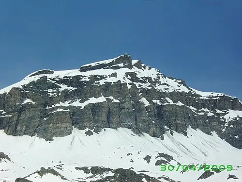 Furgggrat Mountain, Valtournenche3.1 km SW
-
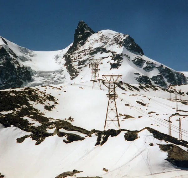 Klein Matterhorn Mountain, Zermatt3.9 km S
-
Hirli Mountain, Zermatt2.5 km NW
-
Furgggletscher Natural site, Zermatt2.4 km W
Sources & licences
Data last updated: