- Elevation
- 3,391 m
- above sea level
- Local time
- UTC+01:00
- Europe/Zurich · UTC+01:00
- Airports
- MXP Milan Malpensa International Airport91 km
- TRN Turin Airport92 km
About Unter Gabelhorn
Unter Gabelhorn is a mountain. Location: Zermatt, Visp District. Elevation: 3,391 m. The nearest airport is Milan Malpensa International Airport (91 km). Nearby sights include Wisse Tschuggen and Gabelhorngletscher.
Photos of Unter Gabelhorn
-
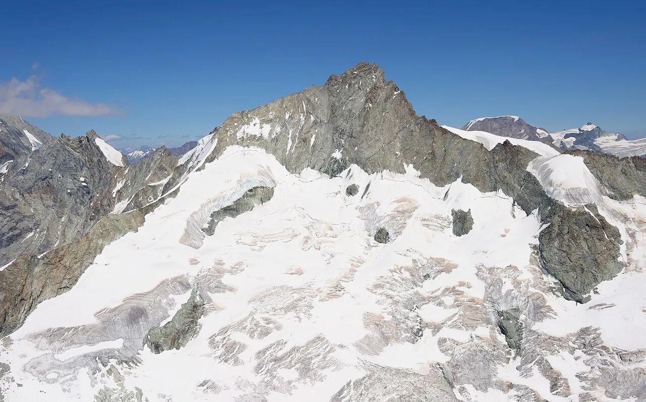
Zinalrothorn Carsten Steger · CC BY-SA 4.0 -
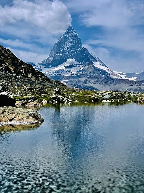
Matterhorn Gianluca Miscione · CC BY-SA 4.0 -
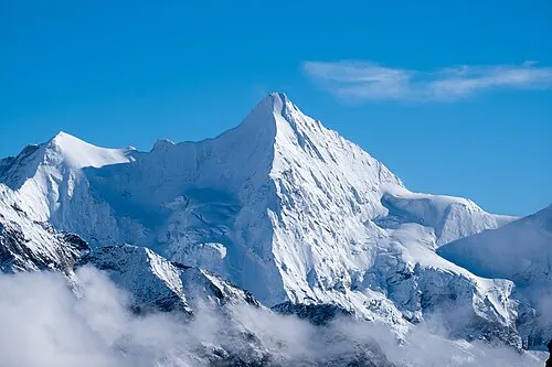
Ober Gabelhorn Christian David · CC BY-SA 4.0 -
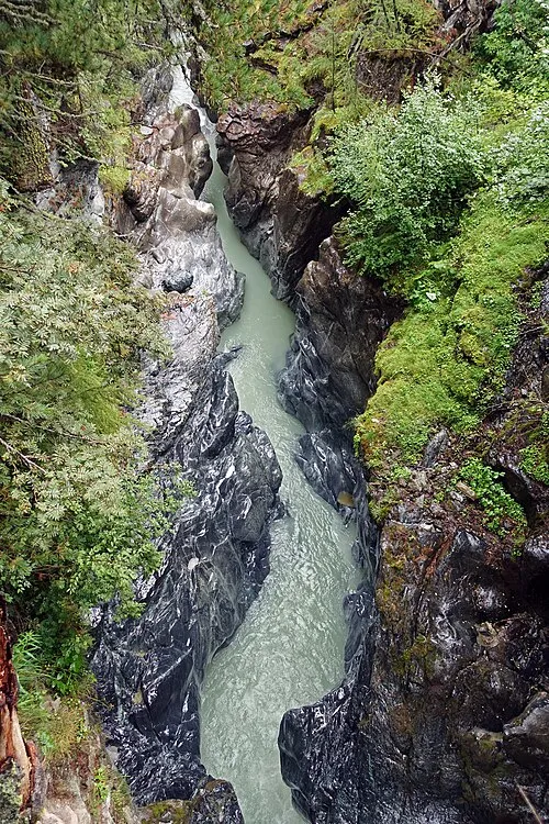
Gorner gorge Tiia Monto · CC BY-SA 3.0 -
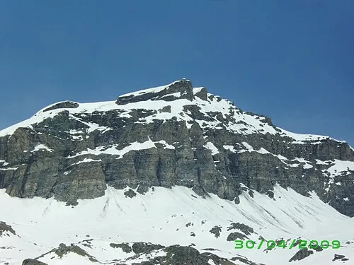
Furgggrat SteGrifo · CC BY-SA 3.0


Climate of Unter Gabelhorn
This month · November
A cold month
Day -7° · Night -12° · Rain 67 mm
- Hottest month
- August (day 5°)
- Coldest month
- February (night -16°)
- Wettest month
- November (67 mm)
- Driest month
- July (52 mm)
Bars: average monthly low and high temperature. Below: precipitation. Monthly averages for 1970–2000 at about 18 km resolution, adjusted for elevation. Highlighted months are mild and relatively dry. Source: WorldClim 2.1 (CC BY 4.0).
Show values as a table
| Month | Jan | Feb | Mar | Apr | May | Jun | Jul | Aug | Sep | Oct | Nov | Dec |
|---|---|---|---|---|---|---|---|---|---|---|---|---|
| Average high (°C) | -10° | -10° | -9° | -7° | -2° | 1° | 5° | 5° | 2° | -2° | -7° | -9° |
| Average low (°C) | -16° | -16° | -15° | -13° | -9° | -5° | -2° | -1° | -4° | -7° | -12° | -14° |
| Precipitation (mm) | 60 | 57 | 66 | 63 | 64 | 58 | 52 | 59 | 54 | 64 | 67 | 58 |
How to get to Unter Gabelhorn
The nearest airport is Milan Malpensa International Airport (MXP), 91 km to the southeast as the crow flies. The nearest large city is Lausanne, 98 km to the northwest.
Airports
- Milan Malpensa International Airport (MXP) Ferno (VA) 91 kmsoutheast
- Turin Airport (TRN) Caselle Torinese (TO) 92 kmsouth
- Lugano Airport (LUG) Agno 94 kmeast
Nearby large cities
- Lausanne Population: 139.1K 98 kmnorthwest
- Bern Population: 121.6K 104 kmnorth
- Geneva Population: 201.7K 122 kmwest
- Zurich Population: 415.4K 163 kmnortheast
- Basel Population: 177.6K 171 kmnorth
Straight-line distances; road distances are longer. Airport data: OurAirports.
Day trips from Unter Gabelhorn
Within 100 km: 92 historic and cultural sites, 5,167 natural sites, 621 lakes, rivers and coasts.
0–25 km646 places
- Stausee Mattmark Lake 20 kmE
- Gornergratsee Lake 8 kmSE
- Gouille de la Grand-Rionde Lake 24 kmNW
- Lac des Dix Lake 23 kmW
25–60 km2,092 places
- Oeschinen Lake Lake 53 kmN
- Lac de Fully Lake 50 kmW
- Lac de Derborence Lake 47 kmNW
- Daubensee Lake 43 kmN
60–100 km3,142 places
- Strandbad Neuhaus Beach 73 kmN
- Strandbad Manor Farm Beach 73 kmN
- Strandbad Leissigen Beach 70 kmN
- Strandbad Iseltwald Beach 79 kmN
Straight-line distances.
Nearest towns and villages
Nearby attractions & nature
Everything nearby-
Wisse Tschuggen Mountain, Zermatt1.2 km SE
-
Gabelhorngletscher Natural site, Zermatt1.2 km NW
-
Ober Gabelhorn Mountain, Anniviers2.7 km NW
-
Hüenerchnubel Mountain, Zermatt1.5 km E
-
Mittler Gabelhorn Mountain, Zermatt1.8 km NW
-
Höhbalmenstafel Mountain, Zermatt1.9 km E
-
Punta Margherita Mountain, Zermatt2.3 km NW
-
Wellenkuppe Mountain, Zermatt2.3 km NW
More nature in Switzerland
-
Gorner gorge Natural site, Zermatt3.8 km SE
-
Wisshorn Mountain, Zermatt3.1 km NE
-
Eseltschuggen Mountain, Zermatt2.7 km N
-
Triftgletscher Natural site, Zermatt2.6 km N
-
Arbengletscher Natural site, Zermatt2.9 km W
-
Äbihorn Mountain, Zermatt3.5 km W
Sources & licences
Data last updated: