Ter Aard
Located in Assen Municipality, Drenthe Coordinates: 53°01′33″ N 6°32′50″ E
- Population
- 80
- 80
- Elevation
- 11 m
- above sea level
- Local time
- UTC+01:00
- Europe/Amsterdam · UTC+01:00
About Ter Aard
Ter Aard is a village. Location: Assen Municipality, Drenthe. Population: 80. Elevation: 11 m.
Ter Aard is a hamlet in the Netherlands and is part of the Assen municipality in Drenthe. Ter Aard is a statistical entity, and has its own postal code, however it is considered a part of Zeijen. It was first mentioned in 1335 as "in Arth" and means "near the farmland". In 1840, it was home to 25 people.
Read more on Wikipedia Text: Wikipedia contributors · CC BY-SA 4.0 · shortened
In comparison
- No. 8 of 10 places in Assen Municipality by population
- Nearest larger town: Peelo, 1 km SE
Nearby attractions & nature
Everything nearby-
 Der Aa-kerk Attraction, Groningen. Municipality21 km N
-
 Martinitoren Landmark, Groningen. Municipality22 km N
-
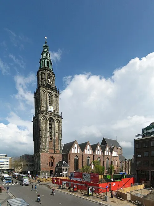 Martinikerk Attraction, Groningen. Municipality22 km N
-
 Groninger Museum Museum, Groningen. Municipality21 km N
-
 Nederlands Stripmuseum Museum, Groningen. Municipality21 km N
-
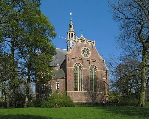 Nieuwe Kerk Attraction, Groningen. Municipality22 km N
Sources & licences
Data last updated: · 2 independent sources