Barger-Oosterveld
Located in Gemeente Emmen, Drenthe Coordinates: 52°46′12″ N 6°57′30″ E
- Population
- 3,090
- 3.1K
- Elevation
- 24 m
- above sea level
- Local time
- UTC+01:00
- Europe/Amsterdam · UTC+01:00
About Barger-Oosterveld
Barger-Oosterveld is a village. Location: Gemeente Emmen, Drenthe. Population: 3,090. Elevation: 24 m.
Barger-Oosterveld is a neighbourhood and former village of Emmen in the Dutch province of Drenthe. In 1957, the Temple of Barger-Oosterveld was discovered.
Read more on Wikipedia Text: Wikipedia contributors · CC BY-SA 4.0 · shortened
In comparison
- No. 10 of 28 places in Gemeente Emmen by population
- Nearest larger town: Emmerhout, 2 km NW
Nearby attractions & nature
Everything nearby-
Großer Sand Natural site, Lower Saxony16 km E
-
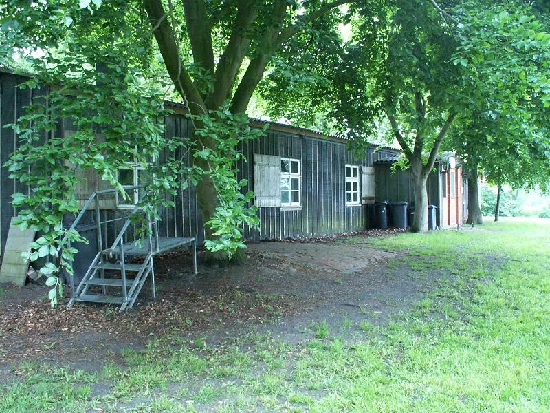 Meppen-Versen Concentration Camp Historic site, Meppen19 km E
-
Auf dem Bült Mountain, Twist17 km SE
-
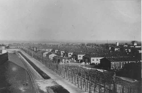 Early Camp Neusustrum Historic site, Sustrum22 km NE
-
Reinkingsbusch Natural site, Haren (Ems)16 km E
-
Breiberg Mountain, Coevorden22 km SW
Sources & licences
Data last updated: · 2 independent sources