Emmer-Compascuum
Located in Gemeente Emmen, Drenthe Coordinates: 52°48′42″ N 7°02′50″ E
- Population
- 8,130
- 8.1K
- Elevation
- 13 m
- above sea level
- Local time
- UTC+01:00
- Europe/Amsterdam · UTC+01:00
About Emmer-Compascuum
Emmer-Compascuum is a town. Location: Gemeente Emmen, Drenthe. Population: 8,130. Elevation: 13 m.
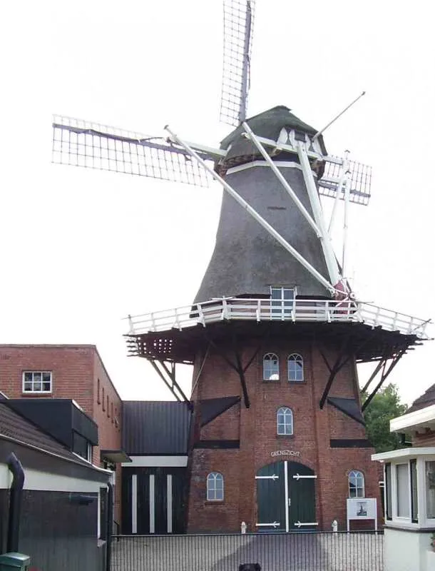
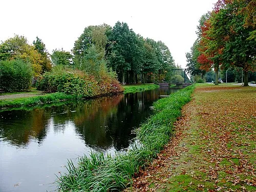
Emmer-Compascuum is a village in the Netherlands and is part of the Emmen municipality in Drenthe. Emmer-Compascuum is located in the Bourtange moor between Germany and the Netherlands. It was originally a compascuum (common pasture). In 1879, Emmer-Compascuum was established. Emmer-Compascuum is often referred as Emmer-Compas by locals.
Read more on Wikipedia Text: Wikipedia contributors · CC BY-SA 4.0 · shortened
In comparison
- No. 4 of 28 places in Gemeente Emmen by population
- Nearest larger town: Haren (Ems), 10 km E
Nearby attractions & nature
Everything nearby-
Großer Sand Natural site, Lower Saxony11 km SE
-
Dankernsee Lake, Haren (Ems)9.8 km E
-
Reinkingsbusch Natural site, Haren (Ems)11 km E
-
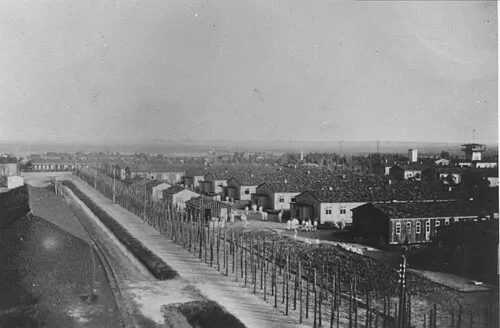 Early Camp Neusustrum Historic site, Sustrum15 km NE
-
Bourtange Fortress Historic site, Westerwolde Municipality24 km NE
-
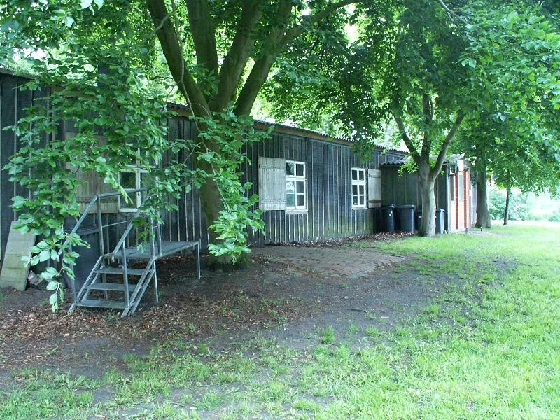 Meppen-Versen Concentration Camp Historic site, Meppen16 km SE
-
Tannenkamp Natural site, Lower Saxony13 km E
-
Große Düne Mountain, Stavern22 km E
Other cities and towns in Gemeente Emmen
-
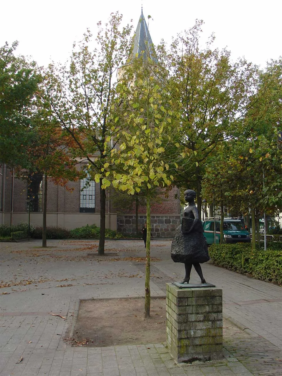 Emmen Town, Gemeente Emmen10 km W
-
 Klazienaveen Town, Gemeente Emmen10 km S
Sources & licences
Data last updated: · 2 independent sources