Eelde
Located in Gemeente Tynaarlo, Drenthe Coordinates: 53°08′09″ N 6°33′45″ E
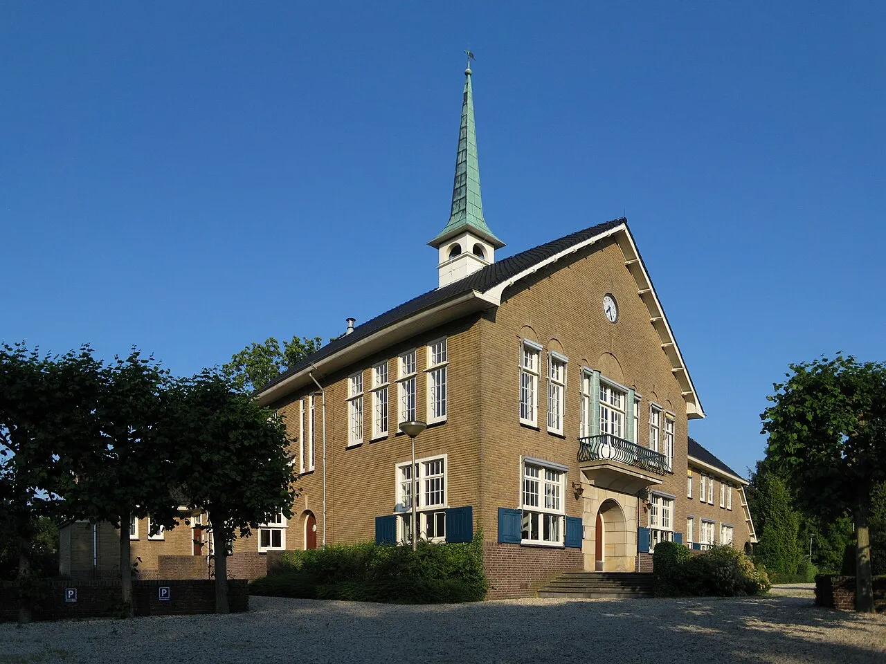
- Population
- 6,450
- 6.4K
- Elevation
- 2 m
- above sea level
- Local time
- UTC+01:00
- Europe/Amsterdam · UTC+01:00
About Eelde
Eelde is a town. Location: Gemeente Tynaarlo, Drenthe. Population: 6,450. Elevation: 2 m.
Eelde (Dutch pronunciation: [ˈeːldə]) is a town in the Dutch province of Drenthe. It is a part of the municipality of Tynaarlo, and lies about 9 km south of Groningen. Groningen Airport Eelde is located near the village. Eelde was a separate municipality until 1998, when it was merged with Vries and Zuidlaren. During the 20th century, the villages of Eelde and Paterswolde have merged into one, "Eelde-Paterswolde". In 2012, Eelde counted 6,660 inhabitants, and Paterswolde 3,680, together 10,340 inhabitants.
Read more on Wikipedia Text: Wikipedia contributors · CC BY-SA 4.0 · shortened
In comparison
- Most populous of 20 places in Gemeente Tynaarlo
- Nearest larger town: Haren, 5 km NE
- 8 sights and natural places within 10 km Grafisch Museum Groningen, Groninger Museum
Nearby attractions & nature
Everything nearby-
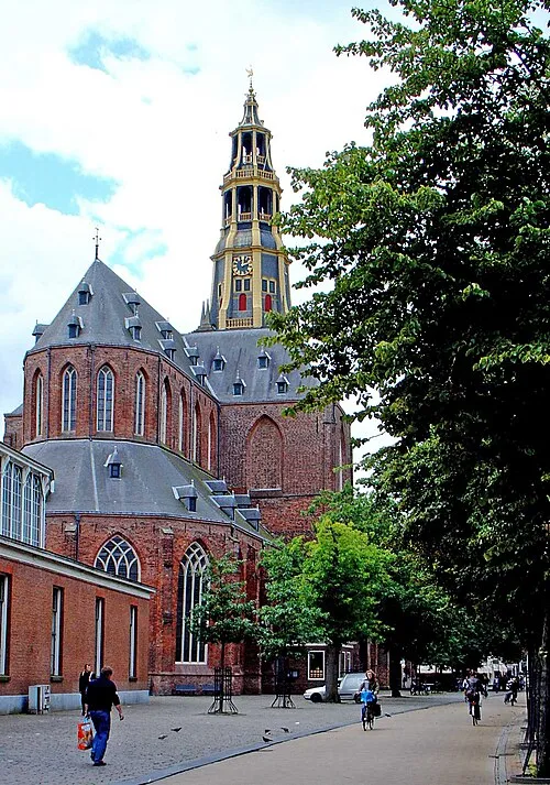 Der Aa-kerk Attraction, Groningen. Municipality9 km N
-
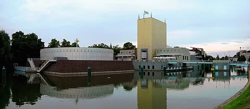 Groninger Museum Museum, Groningen. Municipality8.5 km N
-
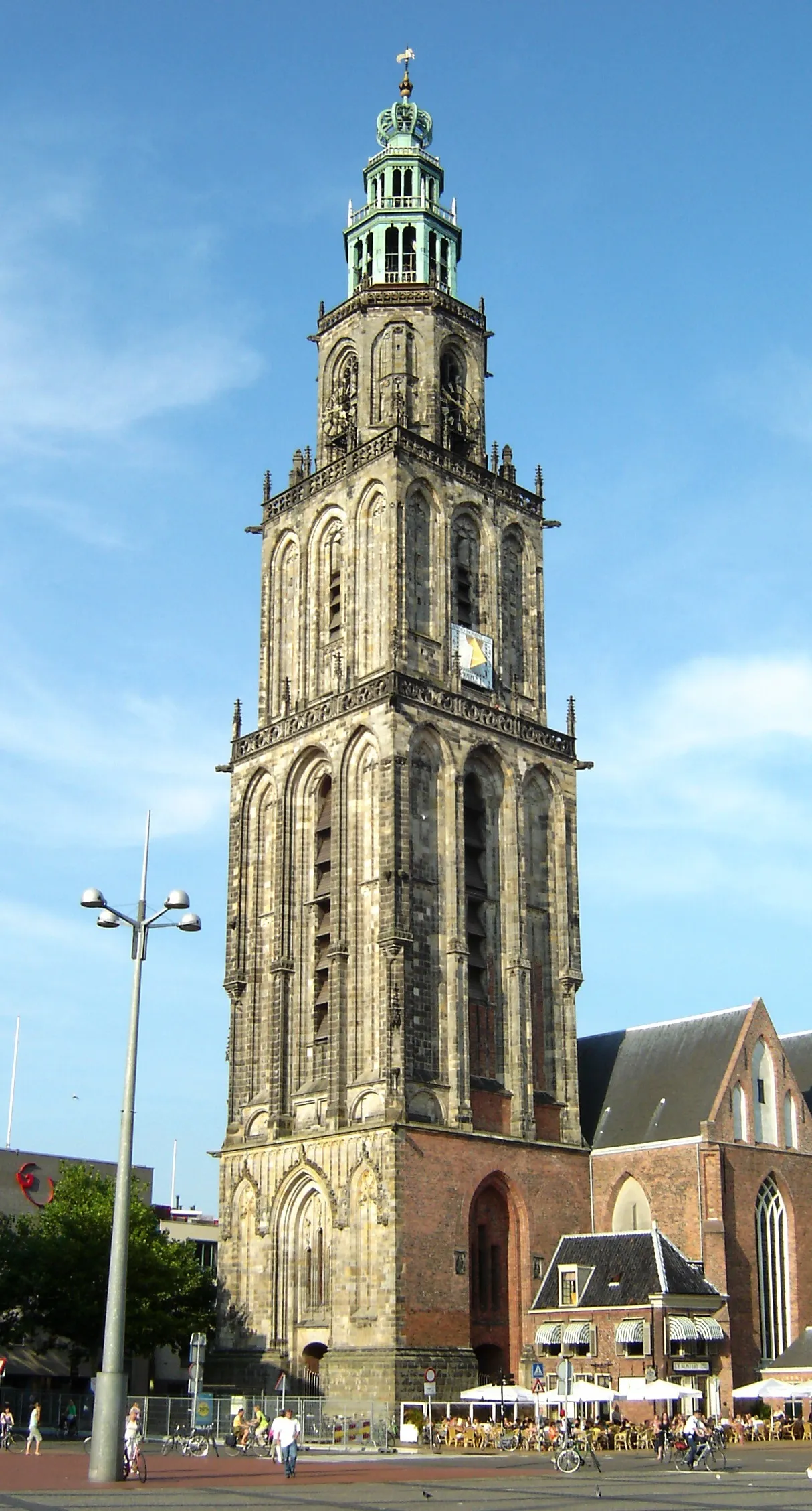 Martinitoren Landmark, Groningen. Municipality9.3 km N
-
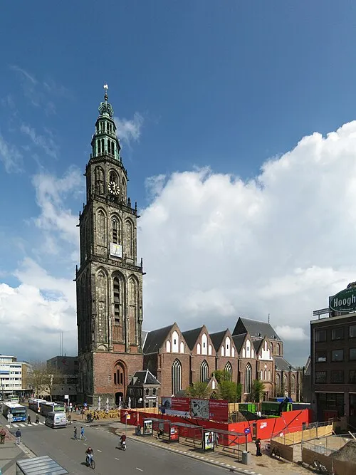 Martinikerk Attraction, Groningen. Municipality9.3 km N
-
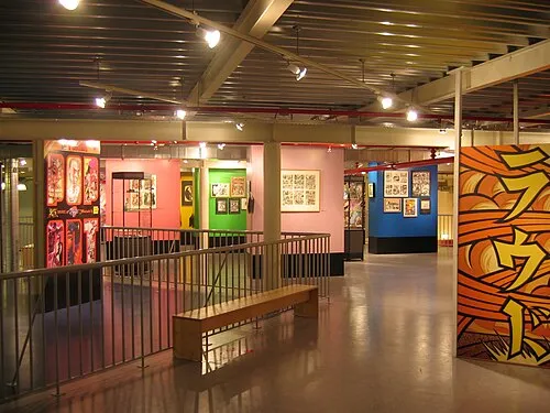 Nederlands Stripmuseum Museum, Groningen. Municipality8.9 km N
-
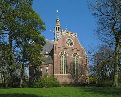 Nieuwe Kerk Attraction, Groningen. Municipality9.7 km N
-
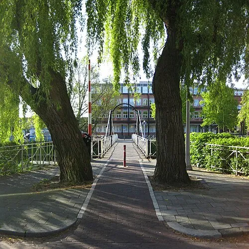 Trompbrug Landmark, Groningen. Municipality8.8 km N
-
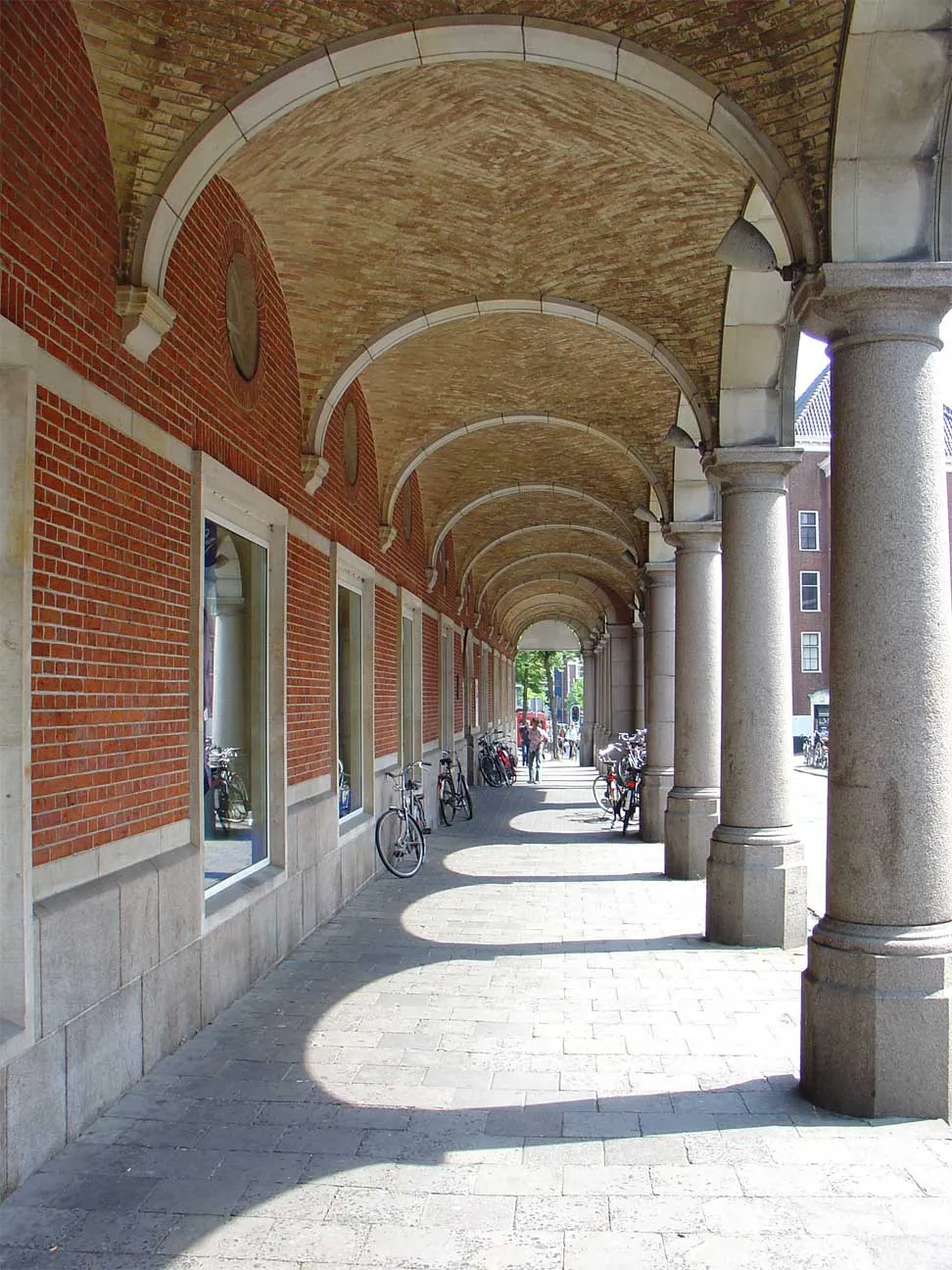 Grafisch Museum Groningen Museum, Groningen. Municipality8.2 km N
Sources & licences
Data last updated: · 2 independent sources