Darp
Located in Gemeente Westerveld, Drenthe Coordinates: 52°46′30″ N 6°12′15″ E
- Population
- 615
- 615
- Elevation
- 9 m
- above sea level
- Local time
- UTC+01:00
- Europe/Amsterdam · UTC+01:00
About Darp
Darp is a village. Location: Gemeente Westerveld, Drenthe. Population: 615. Elevation: 9 m.
Darp is a village in the Dutch province of Drenthe. In 2001, the town of Darp had 507 inhabitants. It is a suburb of the municipality of Westerveld, and lies about 19 km west of Hoogeveen. The current name was first mentioned 1851-1855 as "sic: Erp", and means village. It used to be called Hesselte (1206 in Hesle). The reason for the name change is unclear. Much of the village was demolished in 1942 by the Germans to construct the military airfield Havelte.
Read more on Wikipedia Text: Wikipedia contributors · CC BY-SA 4.0 · shortened
In comparison
- No. 7 of 22 places in Gemeente Westerveld by population
- Nearest larger town: Havelte, 3 km E
Nearby attractions & nature
Everything nearby-
Havelterberg Mountain, Gemeente Westerveld2.5 km NE
-
Bendersche Berg Mountain, Gemeente Westerveld13 km E
-
Hunnenkloosterberg Mountain, Gemeente De Wolden12 km E
-
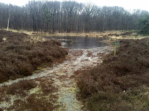 Kiekenberg Mountain, Heerenveen Municipality21 km N
-
Boschberg Mountain, Ooststellingwerf Municipality21 km NE
Sources & licences
Data last updated: · 2 independent sources