Dieverbrug
Located in Gemeente Westerveld, Drenthe Coordinates: 52°50′48″ N 6°20′30″ E
- Population
- 260
- 260
- Elevation
- 10 m
- above sea level
- Local time
- UTC+01:00
- Europe/Amsterdam · UTC+01:00
About Dieverbrug
Dieverbrug is a village. Location: Gemeente Westerveld, Drenthe. Population: 260. Elevation: 10 m.
Dieverbrug is a village in the Dutch province of Drenthe. It is a part of the municipality of Westerveld, and lies about 17 km northwest of Hoogeveen. The village was first mentioned in 1841 as "Dieverbrug of Dieverschebrug", and refers to the bridge which was built around 1770 over the Drentsche Hoofdvaart on the road from Diever to Dwingeloo. Dieverbrug was home to 45 people in 1840. The lime kiln was built in 1925. It remained in function until 1952, but has remained as the local landmark.
Read more on Wikipedia Text: Wikipedia contributors · CC BY-SA 4.0 · shortened
In comparison
- No. 11 of 22 places in Gemeente Westerveld by population
- Nearest larger town: Diever, 2 km NW
- 2 sights and natural places within 10 km Bendersche Berg, Havelterberg
Nearby attractions & nature
Everything nearby-
Bendersche Berg Mountain, Gemeente Westerveld6.9 km SE
-
Havelterberg Mountain, Gemeente Westerveld9.9 km SW
-
Hunnenkloosterberg Mountain, Gemeente De Wolden12 km S
-
Boschberg Mountain, Ooststellingwerf Municipality11 km N
-
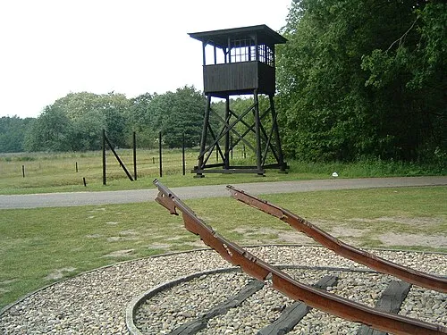 Police Custody Camp Westerbork Historic site, Gemeente Midden-Drenthe18 km E
-
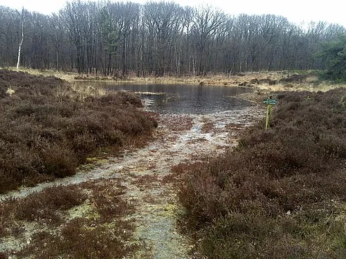 Kiekenberg Mountain, Heerenveen Municipality21 km NW
Sources & licences
Data last updated: · 2 independent sources